Berrouaghia night lights from space
Night Light of Berrouaghia (Medea) from space (Algeria) Src. Average luminocity for 10x10km area is 19.3755% and for 50x50km: 5.3967%.
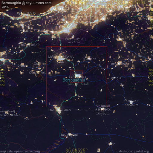
Analysis of Berrouaghia night lights 2016
Square area 10x10 km:
 3.3%
3.3%90-99
4.03%80-89
1.28%70-79
2.01%60-69
2.38%50-59
1.47%40-49
1.47%30-39
2.01%20-29
1.83%10-19
14.47%0-9
65.75%Square area 50x50 km:
0.44%90-99
0.76%80-89
0.51%70-79
0.69%60-69
0.81%50-59
0.4%40-49
0.84%30-39
1.1%20-29
0.99%10-19
3.72%0-9
89.74%Clear (daylight) street map image can be seen on geolist.org.
Map coordinates:
36° 42' 3.5" North, 2° 12' 27.8" East
36° 8' 6.6" North, 2° 54' 39.1" East
35° 33' 54.9" North, 3° 36' 50.3" East
Some cities around Berrouaghia sort by population:
• Blida
38 km =23.6 mi,  348°
348°
• Médéa
20.1 km =12.5 mi,  315°
315°
• Ksar el Boukhari
31 km =19.3 mi,  207°
207°
• Boû Arfa
37.5 km =23.3 mi, 346°
• Souma
42.6 km =26.5 mi,  359°
359°
• Mouzaïa
41.9 km =26 mi,  331°
331°
• Chiffa
39.6 km =24.6 mi,  337°
337°
• ’Aïn Boucif
35.1 km =21.8 mi,  140°
140°
2504099 (p: 80,573)
Sources (retrieved 2019-11-25):
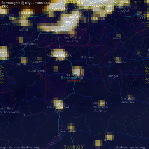
» NASA, Earths city lights 1995
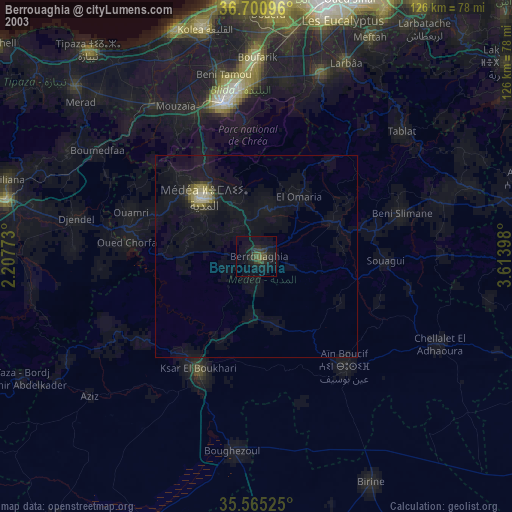
» NASA city lights 2003
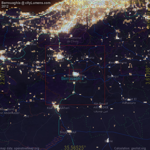
» Earth at Night: Flat Maps 2012, 2016