Aïn Beïda night lights from space
Night Light of Aïn Beïda (Oum el Bouaghi) from space (Algeria) Src. Average luminocity for 10x10km area is 27.1276% and for 50x50km: 3.6466%.
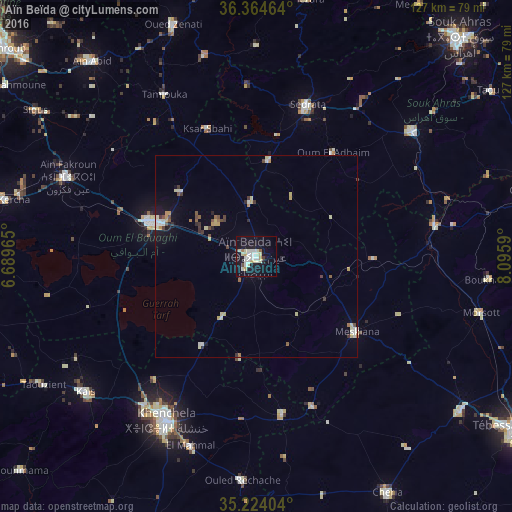
Analysis of Aïn Beïda night lights 2016
Square area 10x10 km:
 4.2%
4.2%90-99
8.04%80-89
5.24%70-79
2.8%60-69
0.7%50-59
0.7%40-49
0.87%30-39
1.22%20-29
1.05%10-19
33.57%0-9
41.61%Square area 50x50 km:
0.4%90-99
0.65%80-89
0.75%70-79
0.43%60-69
0.18%50-59
0.3%40-49
0.39%30-39
0.46%20-29
0.29%10-19
2.36%0-9
93.78%Clear (daylight) street map image can be seen on geolist.org.
Map coordinates:
36° 21' 52.7" North, 6° 41' 22.7" East
35° 47' 47" North, 7° 23' 34" East
35° 13' 26.5" North, 8° 5' 45.2" East
Some cities around Aïn Beïda sort by population:
• Khenchela
46 km =28.6 mi,  209°
209°
• Oum el Bouaghi
26.7 km =16.6 mi,  289°
289°
• Aïn Fakroun
50.6 km =31.4 mi, 292°
• Sedrata
39.1 km =24.3 mi,  18°
18°
• El Aouinet
45.2 km =28.1 mi,  80°
80°
• Meskiana
30.8 km =19.1 mi,  126°
126°
• ’Aïn Abid
63.1 km =39.2 mi,  320°
320°
• Hammamet
63.6 km =39.5 mi, 127°
2508287 (p: 105,765)
Sources (retrieved 2019-11-25):
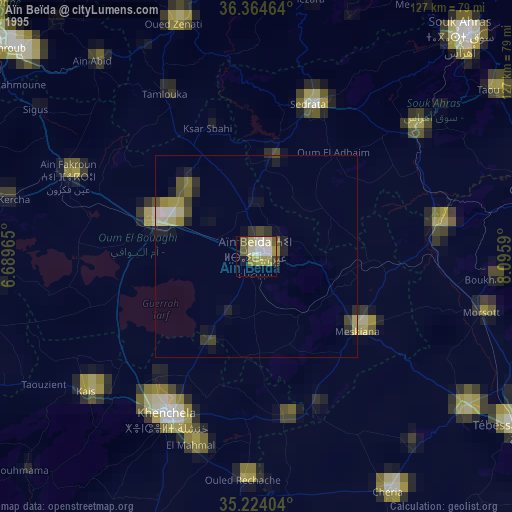
» NASA, Earths city lights 1995
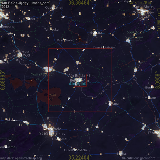
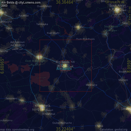
» NASA city lights 2003
» Earth at Night: Flat Maps 2012, 2016