Tizi Gheniff night lights from space
Night Light of Tizi Gheniff (Boumerdes) from space (Algeria) Src. Average luminocity for 10x10km area is 12.0476% and for 50x50km: 21.1938%.
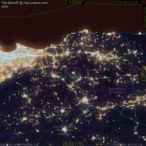
Analysis of Tizi Gheniff night lights 2016
Square area 10x10 km:
 0%
0%90-99
0.73%80-89
0.37%70-79
0.73%60-69
1.1%50-59
1.83%40-49
2.93%30-39
6.78%20-29
2.01%10-19
12.45%0-9
71.06%Square area 50x50 km:
1.03%90-99
2.23%80-89
2.05%70-79
2.69%60-69
3.55%50-59
2.71%40-49
3.59%30-39
6.52%20-29
8.95%10-19
20.04%0-9
46.64%Clear (daylight) street map image can be seen on geolist.org.
Map coordinates:
37° 9' 3.2" North, 3° 4' 16.8" East
36° 35' 18.2" North, 3° 46' 28" East
36° 1' 18.3" North, 4° 28' 39.3" East
Some cities around Tizi Gheniff sort by population:
• Lakhdaria
16.4 km =10.2 mi,  260°
260°
• Boghni
16.8 km =10.4 mi,  107°
107°
• Draa el Mizan
7.8 km =4.8 mi,  137°
137°
• Tirmitine
19.9 km =12.4 mi,  68°
68°
• Tadmaït
20.6 km =12.8 mi,  32°
32°
• Chabet el Ameur
8.9 km =5.5 mi,  307°
307°
• Beni Amrane
18.6 km =11.6 mi,  298°
298°
• Naciria
18.3 km =11.4 mi,  16°
16°
2475764 (p: 27,974)
Sources (retrieved 2019-11-25):
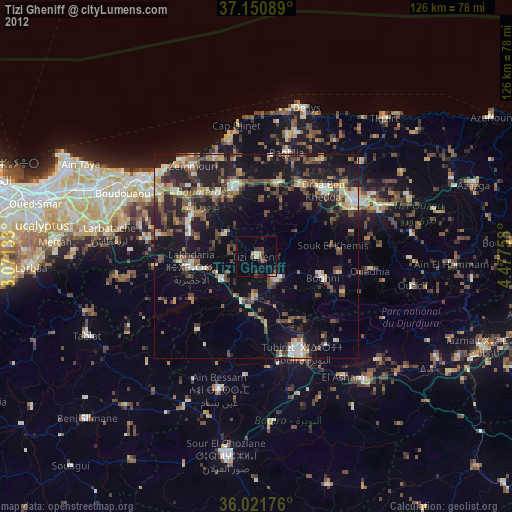
» Earth at Night: Flat Maps 2012, 2016