Lakhdaria night lights from space
Night Light of Lakhdaria (Bouira) from space (Algeria) Src. Average luminocity for 10x10km area is 25.3352% and for 50x50km: 24.7777%.
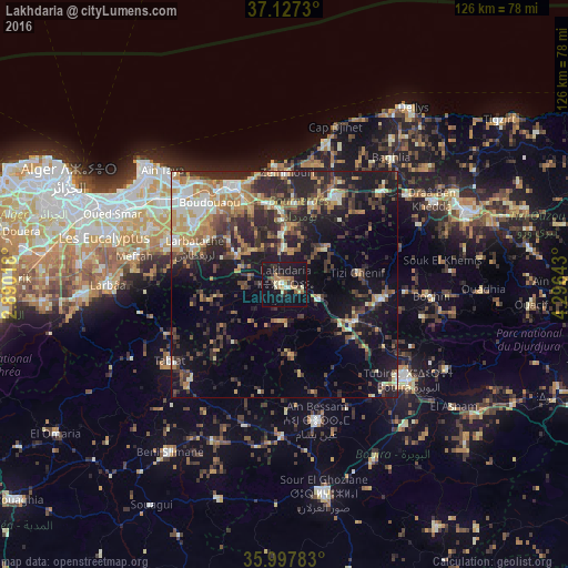
Analysis of Lakhdaria night lights 2016
Square area 10x10 km:
 0.73%
0.73%90-99
2.75%80-89
3.66%70-79
4.03%60-69
4.03%50-59
2.38%40-49
2.93%30-39
5.49%20-29
1.83%10-19
54.95%0-9
17.22%Square area 50x50 km:
2.11%90-99
3.45%80-89
2.47%70-79
4.05%60-69
4.55%50-59
2.57%40-49
3.6%30-39
6.92%20-29
8.83%10-19
15.71%0-9
45.75%Clear (daylight) street map image can be seen on geolist.org.
Map coordinates:
37° 7' 38.3" North, 2° 53' 24.6" East
36° 33' 52.7" North, 3° 35' 35.9" East
35° 59' 52.2" North, 4° 17' 47.1" East
Some cities around Lakhdaria sort by population:
• Boudouaou
24.4 km =15.2 mi,  317°
317°
• Draa el Mizan
21.7 km =13.5 mi,  98°
98°
• Tizi Gheniff
16.4 km =10.2 mi,  80°
80°
• Chabet el Ameur
12.1 km =7.5 mi,  48°
48°
• Beni Amrane
11.5 km =7.1 mi,  359°
359°
• Arbatache
21.4 km =13.3 mi,  292°
292°
• Thenia
18.2 km =11.3 mi,  349°
349°
• Ouled Moussa
24.2 km =15 mi,  303°
303°
2491134 (p: 56,719)
Sources (retrieved 2019-11-25):
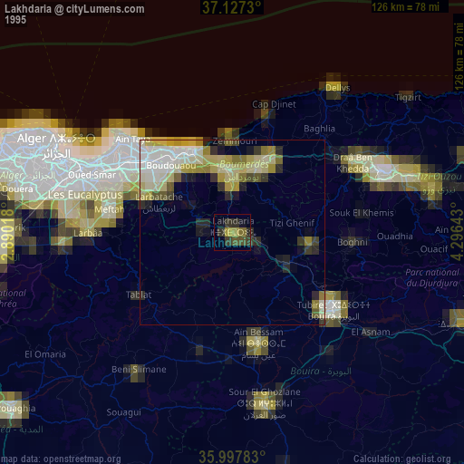
» NASA, Earths city lights 1995
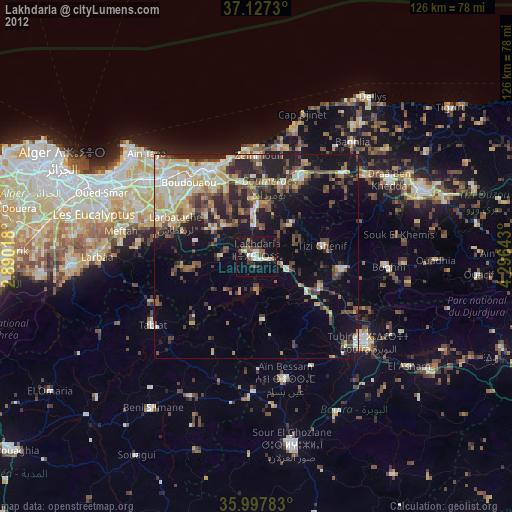
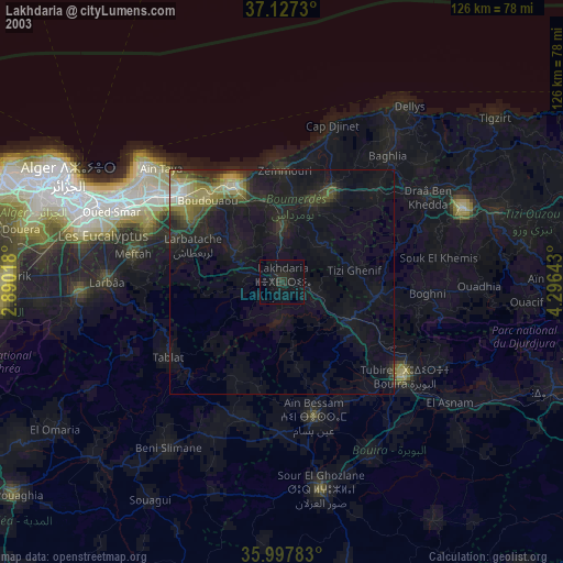
» NASA city lights 2003
» Earth at Night: Flat Maps 2012, 2016