Boghni night lights from space
Night Light of Boghni (Tizi Ouzou) from space (Algeria) Src. Average luminocity for 10x10km area is 21.1832% and for 50x50km: 18.0085%.
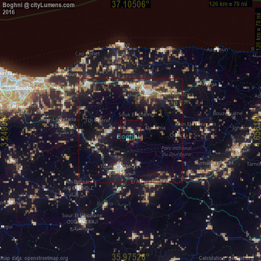
Analysis of Boghni night lights 2016
Square area 10x10 km:
 0%
0%90-99
2.01%80-89
3.11%70-79
2.2%60-69
2.2%50-59
3.48%40-49
4.95%30-39
9.16%20-29
3.48%10-19
17.22%0-9
52.2%Square area 50x50 km:
0.96%90-99
1.94%80-89
1.88%70-79
1.98%60-69
2.54%50-59
2.43%40-49
3.52%30-39
5.82%20-29
5.93%10-19
15.75%0-9
57.25%Clear (daylight) street map image can be seen on geolist.org.
Map coordinates:
37° 6' 18.2" North, 3° 14' 59.7" East
36° 32' 32" North, 3° 57' 11" East
35° 58' 30.9" North, 4° 39' 22.2" East
Some cities around Boghni sort by population:
• Tizi Ouzou
20.6 km =12.8 mi,  23°
23°
• Bouïra
19.2 km =11.9 mi,  193°
193°
• Draa el Mizan
10.7 km =6.6 mi,  266°
266°
• Draa Ben Khedda
21.4 km =13.3 mi,  2°
2°
• Beni Douala
14.4 km =8.9 mi,  53°
53°
• Tizi Gheniff
16.8 km =10.4 mi,  287°
287°
• Tirmitine
12.7 km =7.9 mi,  11°
11°
• Tizi-n-Tleta
9.3 km =5.8 mi,  87°
87°
2503755 (p: 54,666)
Sources (retrieved 2019-11-25):
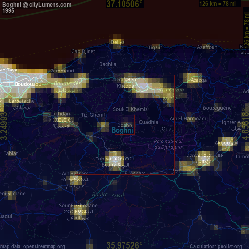
» NASA, Earths city lights 1995
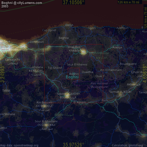
» NASA city lights 2003
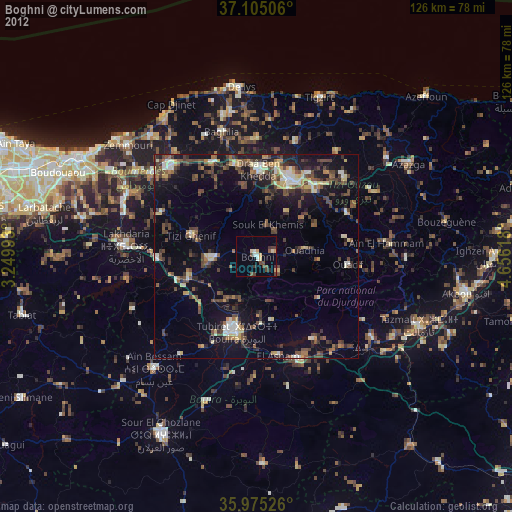
» Earth at Night: Flat Maps 2012, 2016