Villa Riva night lights from space
Night Light of Villa Riva (Duarte) from space (Dominican Republic) Src. Average luminocity for 10x10km area is 2.842% and for 50x50km: 1.6267%.
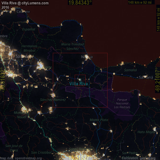
Analysis of Villa Riva night lights 2016
Square area 10x10 km:
 0%
0%90-99
0.87%80-89
0%70-79
0%60-69
0.87%50-59
0%40-49
0%30-39
3.46%20-29
0%10-19
0.87%0-9
93.94%Square area 50x50 km:
0.07%90-99
0.23%80-89
0.14%70-79
0.1%60-69
0.39%50-59
0.24%40-49
0.2%30-39
0.55%20-29
0.35%10-19
0.28%0-9
97.43%Clear (daylight) street map image can be seen on geolist.org.
Map coordinates:
19° 50' 36.3" North, 70° 36' 58.8" West
19° 10' 50.5" North, 69° 54' 47.5" West
18° 30' 55" North, 69° 12' 36.3" West
Some cities around Villa Riva sort by population:
• Cotuí
28.6 km =17.8 mi,  240°
240°
• Nagua
23.6 km =14.7 mi,  17°
17°
• Sabana Grande de Boyá
29.1 km =18.1 mi,  154°
154°
• Sánchez
31.9 km =19.8 mi,  80°
80°
• Las Guáranas
31 km =19.3 mi,  272°
272°
• Pimentel
20.6 km =12.8 mi, 271°
• El Factor
15.5 km =9.6 mi,  9°
9°
• Castillo
12.4 km =7.7 mi,  284°
284°
3491916 (p: 5,700)
Sources (retrieved 2019-11-25):
» Earth at Night: Flat Maps 2012, 2016