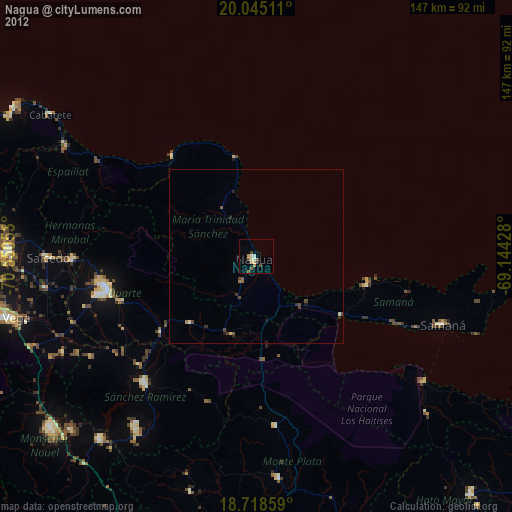
Nagua night lights from space
Night Light of Nagua (María Trinidad Sánchez) from space (Dominican Republic) Src. Average luminocity for 10x10km area is 14.0806% and for 50x50km: 1.1565%.
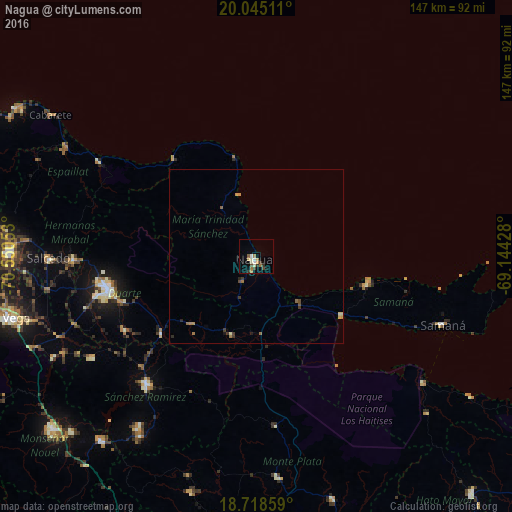
Analysis of Nagua night lights 2016
Square area 10x10 km:
 0.83%
0.83%90-99
3.31%80-89
1.45%70-79
1.03%60-69
3.72%50-59
1.45%40-49
2.07%30-39
3.31%20-29
0.21%10-19
0.83%0-9
81.82%Square area 50x50 km:
0.03%90-99
0.16%80-89
0.11%70-79
0.16%60-69
0.32%50-59
0.16%40-49
0.18%30-39
0.36%20-29
0.11%10-19
0.1%0-9
98.31%Clear (daylight) street map image can be seen on geolist.org.
Map coordinates:
20° 2' 42.4" North, 70° 33' 1.9" West
19° 22' 59.5" North, 69° 50' 50.6" West
18° 43' 6.9" North, 69° 8' 39.4" West
Some cities around Nagua sort by population:
• Sánchez
30 km =18.6 mi,  125°
125°
• Las Guáranas
43.4 km =27 mi,  240°
240°
• Pimentel
35.3 km =21.9 mi,  231°
231°
• Río San Juan
37.6 km =23.4 mi,  320°
320°
• Las Terrenas
32.9 km =20.4 mi,  104°
104°
• El Factor
8.4 km =5.2 mi,  210°
210°
• Castillo
27.1 km =16.8 mi,  224°
224°
• Villa Riva
23.6 km =14.7 mi,  197°
197°
3496021 (p: 33,862)
Sources (retrieved 2019-11-25):
» Earth at Night: Flat Maps 2012, 2016