Pimentel night lights from space
Night Light of Pimentel (Duarte) from space (Dominican Republic) Src. Average luminocity for 10x10km area is 4.1472% and for 50x50km: 4.7944%.
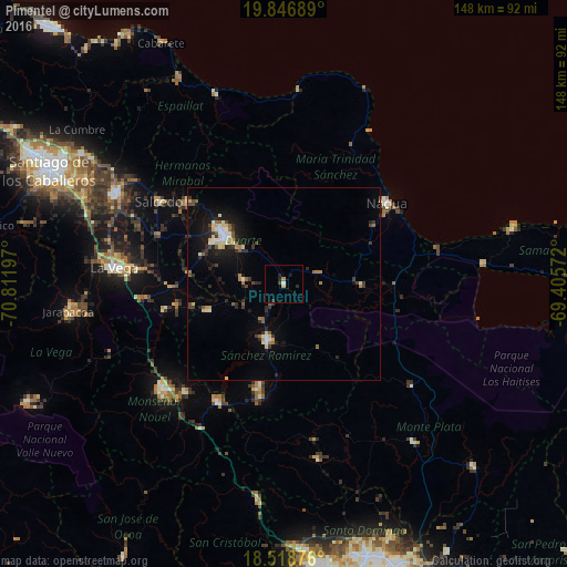
Analysis of Pimentel night lights 2016
Square area 10x10 km:
 0%
0%90-99
0.87%80-89
0%70-79
0.87%60-69
0.87%50-59
0%40-49
0.65%30-39
0.87%20-29
2.16%10-19
1.52%0-9
92.21%Square area 50x50 km:
0.38%90-99
0.76%80-89
0.64%70-79
0.32%60-69
0.56%50-59
0.58%40-49
0.54%30-39
0.89%20-29
1.38%10-19
3.25%0-9
90.71%Clear (daylight) street map image can be seen on geolist.org.
Map coordinates:
19° 50' 48.8" North, 70° 48' 43.1" West
19° 11' 3" North, 70° 6' 31.8" West
18° 31' 7.5" North, 69° 24' 20.6" West
Some cities around Pimentel sort by population:
• San Francisco de Macorís
19.9 km =12.4 mi,  310°
310°
• Cotuí
15.2 km =9.4 mi,  196°
196°
• Fantino
21.2 km =13.2 mi,  250°
250°
• Las Guáranas
10.5 km =6.5 mi,  275°
275°
• El Factor
27.5 km =17.1 mi,  57°
57°
• Castillo
9 km =5.6 mi,  72°
72°
• Jima Abajo
28.6 km =17.8 mi,  258°
258°
• Villa Riva
20.6 km =12.8 mi,  91°
91°
3494768 (p: 9,550)
Sources (retrieved 2019-11-25):
» Earth at Night: Flat Maps 2012, 2016