Cotuí night lights from space
Night Light of Cotuí (Sánchez Ramírez) from space (Dominican Republic) Src. Average luminocity for 10x10km area is 17.5606% and for 50x50km: 5.0808%.
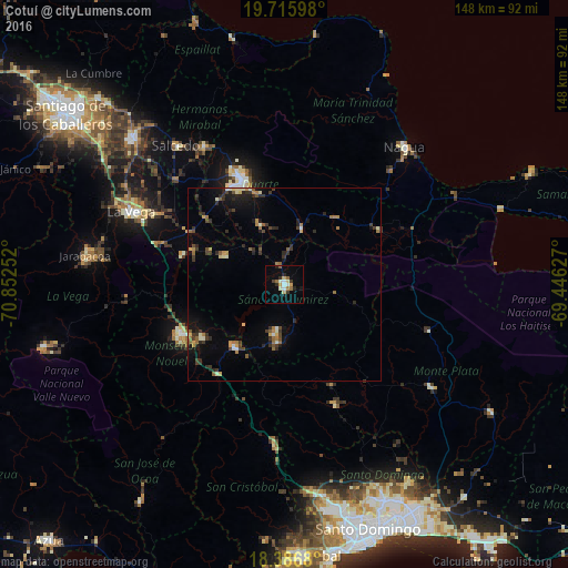
Analysis of Cotuí night lights 2016
Square area 10x10 km:
 1.95%
1.95%90-99
3.03%80-89
3.25%70-79
1.3%60-69
1.95%50-59
2.38%40-49
0.65%30-39
2.38%20-29
3.68%10-19
3.03%0-9
76.41%Square area 50x50 km:
0.19%90-99
0.59%80-89
0.5%70-79
0.47%60-69
0.83%50-59
0.71%40-49
0.64%30-39
1.43%20-29
1.48%10-19
2.48%0-9
90.69%Clear (daylight) street map image can be seen on geolist.org.
Map coordinates:
19° 42' 57.5" North, 70° 51' 9.1" West
19° 3' 9.8" North, 70° 8' 57.8" West
18° 23' 12.5" North, 69° 26' 46.6" West
Some cities around Cotuí sort by population:
• Fantino
17.5 km =10.9 mi,  295°
295°
• Las Guáranas
16.8 km =10.4 mi,  338°
338°
• Pimentel
15.2 km =9.4 mi,  16°
16°
• Castillo
21.5 km =13.4 mi,  36°
36°
• Jima Abajo
25.4 km =15.8 mi,  290°
290°
• Rincón
28 km =17.4 mi, 285°
• Villa Riva
28.6 km =17.8 mi,  60°
60°
• Esperalvillo
29 km =18 mi,  155°
155°
3509207 (p: 41,641)
Sources (retrieved 2019-11-25):
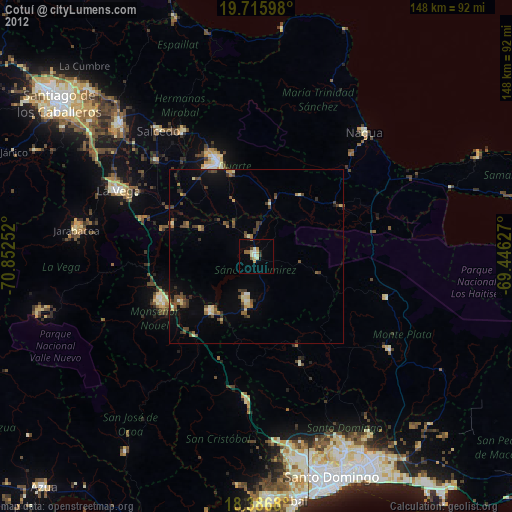
» Earth at Night: Flat Maps 2012, 2016