Río San Juan night lights from space
Night Light of Río San Juan (María Trinidad Sánchez) from space (Dominican Republic) Src. Average luminocity for 10x10km area is 1.626% and for 50x50km: 0.285%.
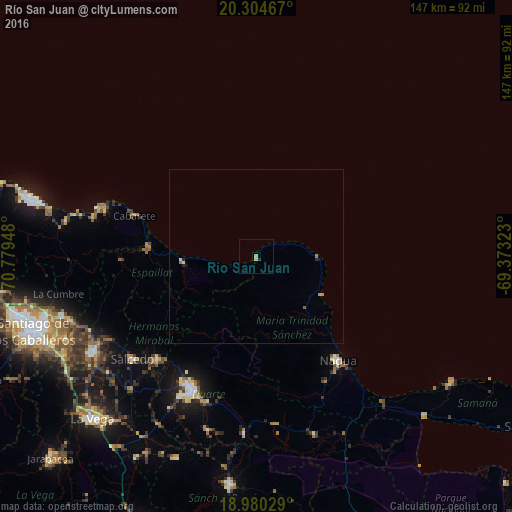
Analysis of Río San Juan night lights 2016
Square area 10x10 km:
 0%
0%90-99
0%80-89
0%70-79
1.03%60-69
0.62%50-59
0%40-49
0%30-39
0%20-29
0.83%10-19
0%0-9
97.52%Square area 50x50 km:
0%90-99
0.04%80-89
0.02%70-79
0.11%60-69
0.07%50-59
0.05%40-49
0%30-39
0%20-29
0.13%10-19
0.06%0-9
99.51%Clear (daylight) street map image can be seen on geolist.org.
Map coordinates:
20° 18' 16.8" North, 70° 46' 46.1" West
19° 38' 37.9" North, 70° 4' 34.9" West
18° 58' 49" North, 69° 22' 23.6" West
Some cities around Río San Juan sort by population:
• San Francisco de Macorís
42.4 km =26.3 mi,  205°
205°
• Salcedo
46.4 km =28.8 mi,  230°
230°
• Nagua
37.6 km =23.4 mi,  140°
140°
• Salsipuedes
41.4 km =25.7 mi, 230°
• Tenares
41.5 km =25.8 mi,  223°
223°
• El Factor
41.2 km =25.6 mi,  151°
151°
• Gaspar Hernández
21.2 km =13.2 mi,  265°
265°
• Veragua Arriba
27.7 km =17.2 mi,  255°
255°
3493743 (p: 8,983)
Sources (retrieved 2019-11-25):
» Earth at Night: Flat Maps 2012, 2016