Tårnby night lights from space
Night Light of Tårnby (Capital Region) from space (Denmark) Src. Average luminocity for 10x10km area is 63.8484% and for 50x50km: 21.8727%.
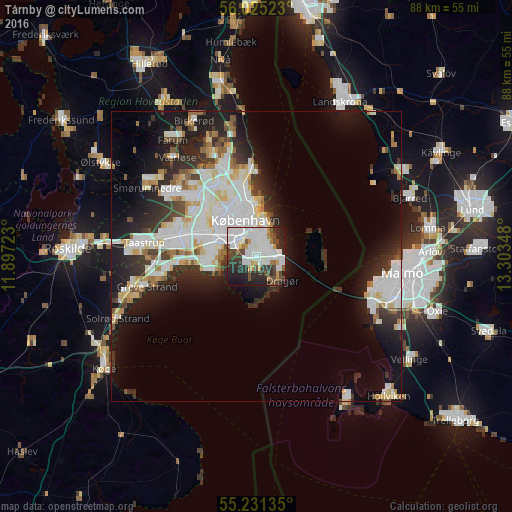
Analysis of Tårnby night lights 2016
Square area 10x10 km:
 24.69%
90-99
18.3%80-89
0.88%70-79
5.26%60-69
3.51%50-59
3.76%40-49
9.27%30-39
8.4%20-29
16.67%10-19
9.27%0-9
0%Square area 50x50 km:
6.28%90-99
5.37%80-89
2%70-79
1.55%60-69
1.72%50-59
1.54%40-49
1.93%30-39
2.65%20-29
5.9%10-19
10.9%0-9
60.16%Clear (daylight) street map image can be seen on geolist.org.
Map coordinates:
56° 1' 30.8" North, 11° 53' 50" East
55° 37' 49.1" North, 12° 36' 1.3" East
55° 13' 52.9" North, 13° 18' 12.5" East
Some cities around Tårnby sort by population:
• Copenhagen
5.5 km =3.4 mi,  336°
336°
• Frederiksberg
6.8 km =4.2 mi,  322°
322°
• Hvidovre
8.5 km =5.3 mi,  290°
290°
• Vanløse
9.3 km =5.8 mi,  309°
309°
• Rødovre
10.8 km =6.7 mi,  301°
301°
• Glostrup
13 km =8.1 mi, 288°
• Dragør
6.1 km =3.8 mi,  132°
132°
• Christianshavn
4.8 km =3 mi,  356°
356°
2611862 (p: 10,000)
Sources (retrieved 2019-11-25):
» Earth at Night: Flat Maps 2012, 2016