Hvidovre night lights from space
Night Light of Hvidovre (Capital Region) from space (Denmark) Src. Average luminocity for 10x10km area is 86.4737% and for 50x50km: 22.0759%.
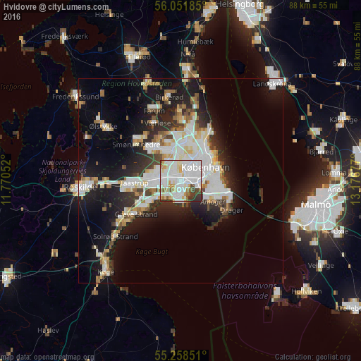
Analysis of Hvidovre night lights 2016
Square area 10x10 km:
 39.95%
90-99
28.59%80-89
7.3%70-79
5.86%60-69
2.63%50-59
4.43%40-49
3.11%30-39
6.1%20-29
2.03%10-19
0%0-9
0%Square area 50x50 km:
5.82%90-99
5.38%80-89
2.11%70-79
1.77%60-69
1.93%50-59
1.81%40-49
2%30-39
2.37%20-29
5.16%10-19
12.78%0-9
58.87%Clear (daylight) street map image can be seen on geolist.org.
Map coordinates:
56° 3' 6.7" North, 11° 46' 13.9" East
55° 39' 25.9" North, 12° 28' 25.1" East
55° 15' 30.6" North, 13° 10' 36.4" East
Some cities around Hvidovre sort by population:
• Copenhagen
6.1 km =3.8 mi,  70°
70°
• Frederiksberg
4.6 km =2.9 mi,  57°
57°
• Vanløse
3.1 km =1.9 mi,  16°
16°
• Albertslund
6.9 km =4.3 mi,  269°
269°
• Rødovre
2.9 km =1.8 mi,  334°
334°
• Glostrup
4.5 km =2.8 mi,  283°
283°
• Vallensbæk
6.8 km =4.2 mi,  234°
234°
• Christianshavn
7.9 km =4.9 mi,  76°
76°
2619528 (p: 49,380)
Sources (retrieved 2019-11-25):
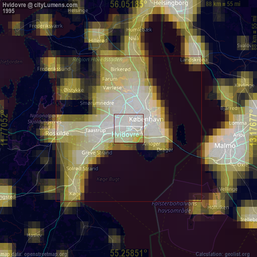
» NASA, Earths city lights 1995
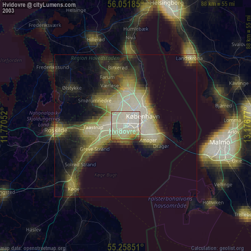
» NASA city lights 2003
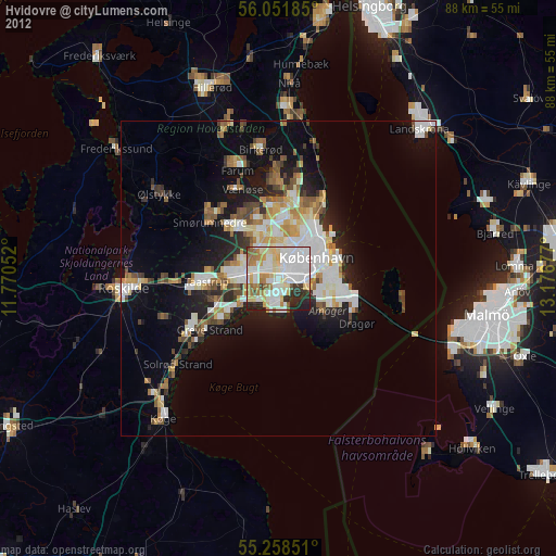
» Earth at Night: Flat Maps 2012, 2016