Rødovre night lights from space
Night Light of Rødovre (Capital Region) from space (Denmark) Src. Average luminocity for 10x10km area is 91.1902% and for 50x50km: 22.9017%.
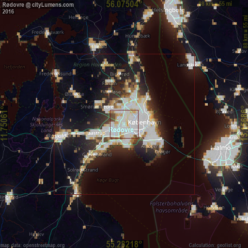
Analysis of Rødovre night lights 2016
Square area 10x10 km:
 39.71%
90-99
35.17%80-89
8.73%70-79
6.34%60-69
2.39%50-59
1.56%40-49
5.98%30-39
0.12%20-29
0%10-19
0%0-9
0%Square area 50x50 km:
6.04%90-99
5.57%80-89
2.21%70-79
1.82%60-69
1.97%50-59
1.96%40-49
2.04%30-39
2.37%20-29
5.16%10-19
13.64%0-9
57.22%Clear (daylight) street map image can be seen on geolist.org.
Map coordinates:
56° 4' 30.1" North, 11° 45' 2.2" East
55° 40' 50.2" North, 12° 27' 13.4" East
55° 16' 55.8" North, 13° 9' 24.7" East
Some cities around Rødovre sort by population:
• Copenhagen
7 km =4.3 mi,  94°
94°
• Frederiksberg
5.1 km =3.2 mi, 91°
• Hvidovre
2.9 km =1.8 mi,  154°
154°
• Ballerup
8 km =5 mi,  315°
315°
• Vanløse
2.1 km =1.3 mi,  80°
80°
• Albertslund
6.2 km =3.9 mi,  244°
244°
• Glostrup
3.5 km =2.2 mi, 243°
• Vallensbæk
7.8 km =4.8 mi,  213°
213°
2614600 (p: 30,000)
Sources (retrieved 2019-11-25):
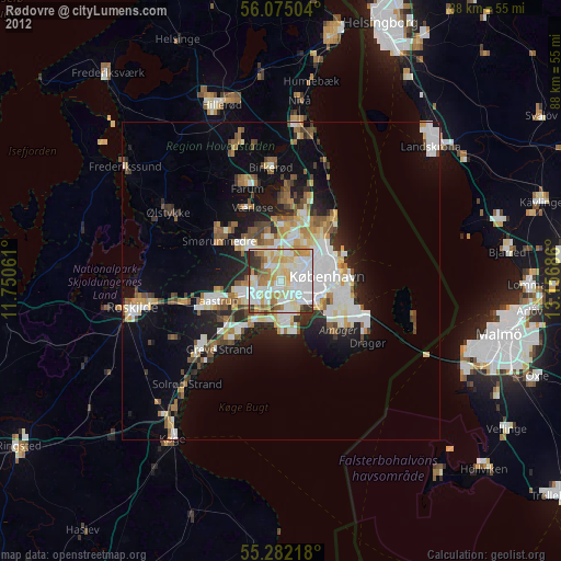
» Earth at Night: Flat Maps 2012, 2016