Glostrup night lights from space
Night Light of Glostrup (Capital Region) from space (Denmark) Src. Average luminocity for 10x10km area is 81.5837% and for 50x50km: 22.4994%.
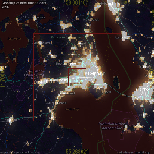
Analysis of Glostrup night lights 2016
Square area 10x10 km:
 29.07%
90-99
30.62%80-89
8.49%70-79
6.22%60-69
3.35%50-59
1.91%40-49
9.57%30-39
8.01%20-29
2.75%10-19
0%0-9
0%Square area 50x50 km:
5.75%90-99
5.36%80-89
2.23%70-79
1.87%60-69
2%50-59
1.98%40-49
2.08%30-39
2.4%20-29
5.17%10-19
13.1%0-9
58.06%Clear (daylight) street map image can be seen on geolist.org.
Map coordinates:
56° 3' 40.2" North, 11° 42' 2.3" East
55° 39' 59.8" North, 12° 24' 13.6" East
55° 16' 4.9" North, 13° 6' 24.8" East
Some cities around Glostrup sort by population:
• Hvidovre
4.5 km =2.8 mi,  103°
103°
• Ballerup
7.7 km =4.8 mi,  340°
340°
• Vanløse
5.6 km =3.5 mi,  70°
70°
• Taastrup
6.7 km =4.2 mi,  253°
253°
• Rødovre
3.5 km =2.2 mi,  63°
63°
• Albertslund
2.7 km =1.7 mi, 246°
• Ishøj
6.6 km =4.1 mi,  209°
209°
• Vallensbæk
5.1 km =3.2 mi,  193°
193°
2621356 (p: 20,673)
Sources (retrieved 2019-11-25):
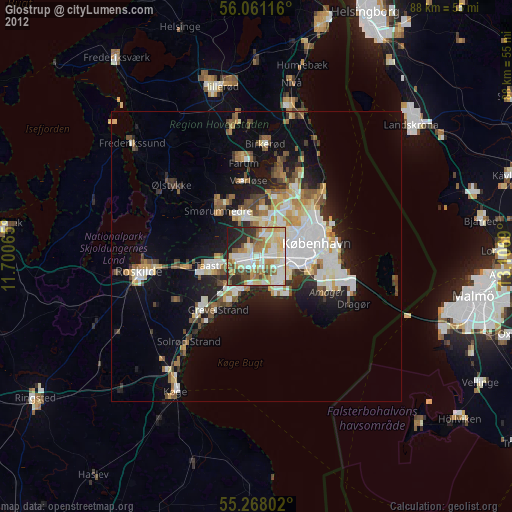
» Earth at Night: Flat Maps 2012, 2016