Zirndorf night lights from space
Night Light of Zirndorf (Bavaria) from space (Germany) Src. Average luminocity for 10x10km area is 40.7311% and for 50x50km: 13.909%.
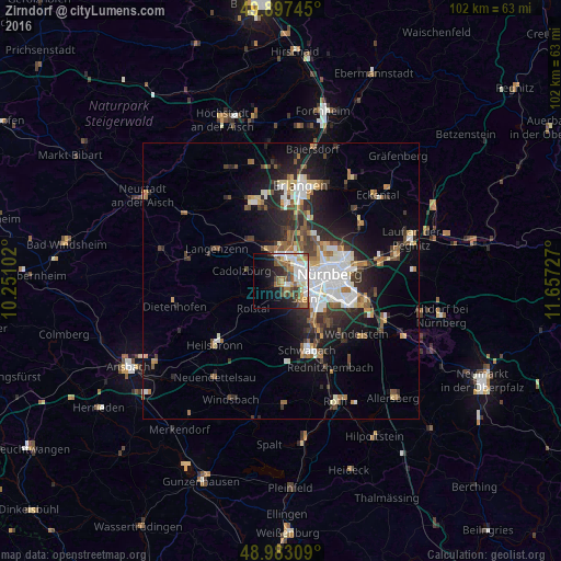
Analysis of Zirndorf night lights 2016
Square area 10x10 km:
 10.92%
90-99
7.98%80-89
3.22%70-79
4.34%60-69
5.6%50-59
7.42%40-49
6.3%30-39
3.64%20-29
6.16%10-19
14.15%0-9
30.25%Square area 50x50 km:
2.87%90-99
2.36%80-89
1.17%70-79
1.22%60-69
1.69%50-59
1.95%40-49
1.98%30-39
2.09%20-29
4.44%10-19
7.3%0-9
72.95%Clear (daylight) street map image can be seen on geolist.org.
Map coordinates:
49° 53' 50.8" North, 10° 15' 3.7" East
49° 26' 32.6" North, 10° 57' 14.9" East
48° 58' 59.1" North, 11° 39' 26.2" East
Some cities around Zirndorf sort by population:
• Nürnberg
9 km =5.6 mi,  81°
81°
• Fürth
4.5 km =2.8 mi,  33°
33°
• Oberasbach
2.2 km =1.4 mi,  173°
173°
• Stein
5.4 km =3.4 mi,  123°
123°
• Cadolzburg
7.5 km =4.7 mi,  282°
282°
• Roßtal
7 km =4.3 mi,  222°
222°
• Wetzendorf
7 km =4.3 mi,  63°
63°
• Veitsbronn
9.1 km =5.7 mi,  328°
328°
2804034 (p: 25,734)
Sources (retrieved 2019-11-25):
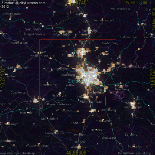
» Earth at Night: Flat Maps 2012, 2016