Veitsbronn night lights from space
Night Light of Veitsbronn (Bavaria) from space (Germany) Src. Average luminocity for 10x10km area is 12.1905% and for 50x50km: 14.1633%.
Analysis of Veitsbronn night lights 2016
Square area 10x10 km:
 0.98%
0.98%90-99
0.84%80-89
0.56%70-79
0.56%60-69
1.4%50-59
2.1%40-49
2.24%30-39
1.96%20-29
5.88%10-19
20.59%0-9
62.89%Square area 50x50 km:
3.02%90-99
2.49%80-89
1.13%70-79
1.25%60-69
1.57%50-59
1.98%40-49
2.04%30-39
2.17%20-29
4.45%10-19
7.66%0-9
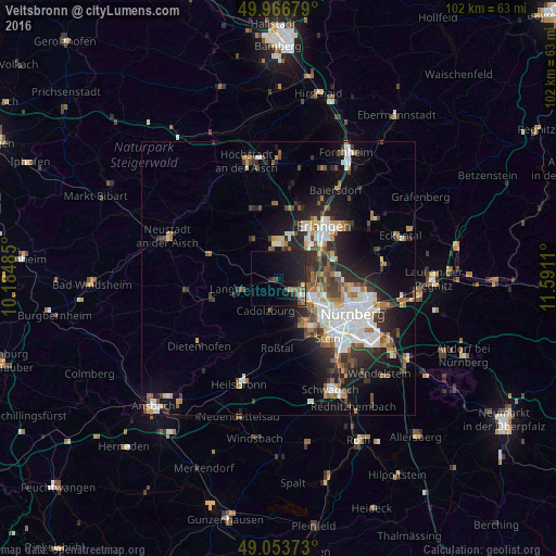
72.25%Clear (daylight) street map image can be seen on geolist.org.
Map coordinates:
49° 58' 0.4" North, 10° 11' 5.5" East
49° 30' 44.6" North, 10° 53' 16.7" East
49° 3' 13.4" North, 11° 35' 28" East
Some cities around Veitsbronn sort by population:
• Fürth
8.3 km =5.2 mi,  119°
119°
• Erlangen
12.3 km =7.6 mi,  44°
44°
• Zirndorf
9.1 km =5.7 mi,  148°
148°
• Herzogenaurach
6.2 km =3.9 mi,  358°
358°
• Oberasbach
11.2 km =7 mi, 153°
• Langenzenn
7.2 km =4.5 mi,  254°
254°
• Cadolzburg
6.6 km =4.1 mi,  202°
202°
• Wetzendorf
12 km =7.5 mi,  112°
112°
2817736 (p: 6,194)
Sources (retrieved 2019-11-25):
» Earth at Night: Flat Maps 2012, 2016