Fürth night lights from space
Night Light of Fürth (Bavaria) from space (Germany) Src. Average luminocity for 10x10km area is 64.3011% and for 50x50km: 13.9048%.
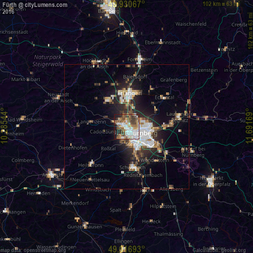
Analysis of Fürth night lights 2016
Square area 10x10 km:
 19.75%
90-99
13.31%80-89
5.04%70-79
6.16%60-69
9.1%50-59
12.75%40-49
9.94%30-39
7.42%20-29
6.44%10-19
9.66%0-9
0.42%Square area 50x50 km:
2.84%90-99
2.33%80-89
1.13%70-79
1.16%60-69
1.58%50-59
2.01%40-49
2.02%30-39
2.2%20-29
4.48%10-19
7.5%0-9
72.75%Clear (daylight) street map image can be seen on geolist.org.
Map coordinates:
49° 55' 50.4" North, 10° 17' 7.6" East
49° 28' 33.3" North, 10° 59' 18.8" East
49° 1' 0.9" North, 11° 41' 30.1" East
Some cities around Fürth sort by population:
• Nürnberg
6.9 km =4.3 mi,  110°
110°
• Zirndorf
4.5 km =2.8 mi,  213°
213°
• Oberasbach
6.3 km =3.9 mi,  200°
200°
• Stein
7 km =4.3 mi,  163°
163°
• Cadolzburg
10 km =6.2 mi,  258°
258°
• Roßtal
11.5 km =7.1 mi,  219°
219°
• Wetzendorf
3.9 km =2.4 mi,  98°
98°
• Veitsbronn
8.3 km =5.2 mi,  299°
299°
2923544 (p: 112,025)
Sources (retrieved 2019-11-25):
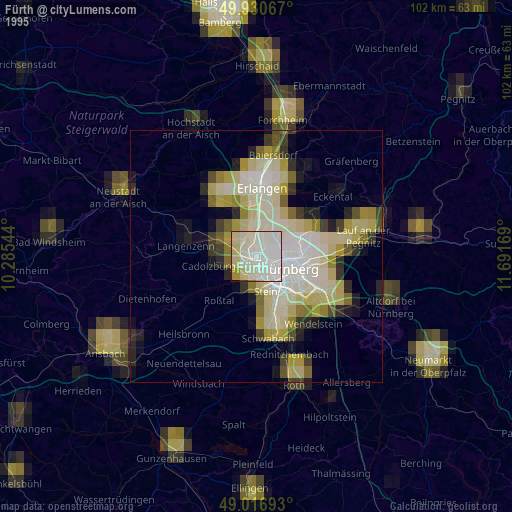
» NASA, Earths city lights 1995
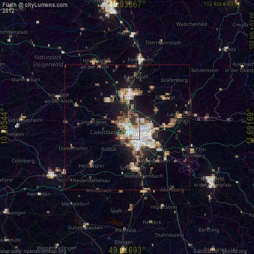
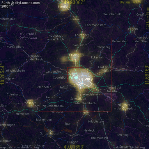
» NASA city lights 2003
» Earth at Night: Flat Maps 2012, 2016