Zeulenroda night lights from space
Night Light of Zeulenroda (Thuringia) from space (Germany) Src. Average luminocity for 10x10km area is 4.1805% and for 50x50km: 3.0723%.
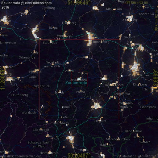
Analysis of Zeulenroda night lights 2016
Square area 10x10 km:
 0.67%
0.67%90-99
0.94%80-89
0%70-79
1.07%60-69
0.53%50-59
0%40-49
0.53%30-39
1.07%20-29
0.27%10-19
0.67%0-9
94.25%Square area 50x50 km:
0.37%90-99
0.4%80-89
0.48%70-79
0.35%60-69
0.38%50-59
0.42%40-49
0.32%30-39
0.35%20-29
0.33%10-19
1.88%0-9
94.71%Clear (daylight) street map image can be seen on geolist.org.
Map coordinates:
51° 5' 47.3" North, 11° 16' 50.3" East
50° 39' 10" North, 11° 59' 1.6" East
50° 12' 17.5" North, 12° 41' 12.8" East
Some cities around Zeulenroda sort by population:
• Plauen
20.4 km =12.7 mi,  147°
147°
• Greiz
15.2 km =9.4 mi,  87°
87°
• Reichenbach/Vogtland
22.8 km =14.2 mi,  98°
98°
• Treuen
25.7 km =16 mi,  118°
118°
• Schleiz
14.8 km =9.2 mi,  236°
236°
• Weida
14.6 km =9.1 mi,  21°
21°
• Neustadt an der Orla
19.1 km =11.9 mi,  299°
299°
• Elsterberg
13.9 km =8.6 mi,  110°
110°
2804654 (p: 13,763)
Sources (retrieved 2019-11-25):
» Earth at Night: Flat Maps 2012, 2016