Plauen night lights from space
Night Light of Plauen (Saxony) from space (Germany) Src. Average luminocity for 10x10km area is 20.619% and for 50x50km: 4.072%.
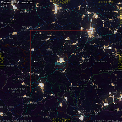
Analysis of Plauen night lights 2016
Square area 10x10 km:
 2.94%
2.94%90-99
2.8%80-89
5.18%70-79
2.52%60-69
1.12%50-59
1.54%40-49
1.96%30-39
0.98%20-29
1.82%10-19
24.09%0-9
55.04%Square area 50x50 km:
0.5%90-99
0.63%80-89
0.5%70-79
0.56%60-69
0.46%50-59
0.59%40-49
0.46%30-39
0.59%20-29
0.31%10-19
2.37%0-9
93.03%Clear (daylight) street map image can be seen on geolist.org.
Map coordinates:
50° 56' 32.8" North, 11° 26' 4.9" East
50° 29' 50.3" North, 12° 8' 16.2" East
50° 2' 52.5" North, 12° 50' 27.4" East
Some cities around Plauen sort by population:
• Greiz
18.4 km =11.4 mi,  13°
13°
• Reichenbach/Vogtland
18.2 km =11.3 mi,  39°
39°
• Auerbach
18.7 km =11.6 mi,  85°
85°
• Oelsnitz
9.5 km =5.9 mi,  166°
166°
• Falkenstein
16.7 km =10.4 mi,  97°
97°
• Treuen
12.7 km =7.9 mi,  66°
66°
• Lengenfeld
17.9 km =11.1 mi,  63°
63°
• Elsterberg
12.5 km =7.8 mi, 9°
2853292 (p: 66,412)
Sources (retrieved 2019-11-25):
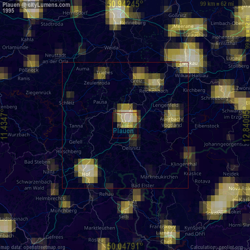
» NASA, Earths city lights 1995
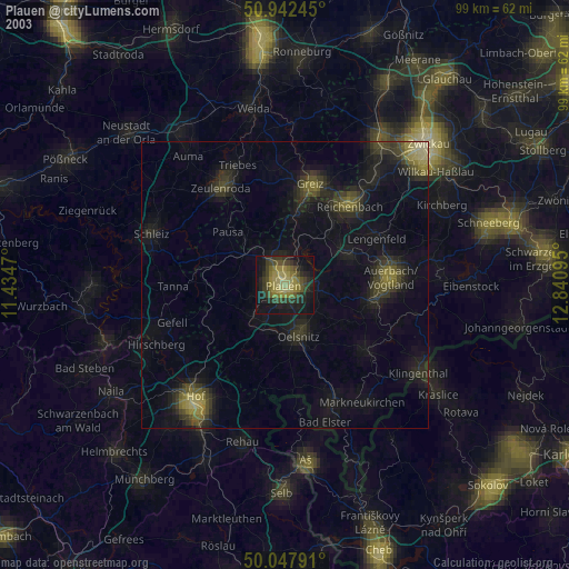
» NASA city lights 2003
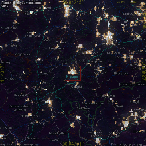
» Earth at Night: Flat Maps 2012, 2016