Zeitz night lights from space
Night Light of Zeitz (Saxony-Anhalt) from space (Germany) Src. Average luminocity for 10x10km area is 10.6925% and for 50x50km: 5.6318%.
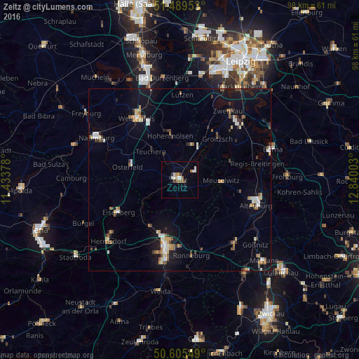
Analysis of Zeitz night lights 2016
Square area 10x10 km:
 1.6%
1.6%90-99
2.67%80-89
0.27%70-79
0.94%60-69
1.34%50-59
1.74%40-49
1.34%30-39
1.34%20-29
0.94%10-19
0.13%0-9
87.7%Square area 50x50 km:
0.72%90-99
0.83%80-89
0.56%70-79
0.54%60-69
0.6%50-59
0.87%40-49
0.53%30-39
0.73%20-29
0.54%10-19
4.23%0-9
89.85%Clear (daylight) street map image can be seen on geolist.org.
Map coordinates:
51° 29' 22.3" North, 11° 26' 1.6" East
51° 2' 58.6" North, 12° 8' 12.8" East
50° 36' 19.8" North, 12° 50' 24.1" East
Some cities around Zeitz sort by population:
• Gera
19.2 km =11.9 mi,  191°
191°
• Altenburg
22.1 km =13.7 mi,  108°
108°
• Weißenfels
20.6 km =12.8 mi,  325°
325°
• Eisenberg
18.7 km =11.6 mi,  241°
241°
• Hohenmölsen
12.3 km =7.6 mi,  347°
347°
• Meuselwitz
11.4 km =7.1 mi,  93°
93°
• Groitzsch
15.6 km =9.7 mi,  40°
40°
• Ronneburg
21 km =13 mi,  170°
170°
2804922 (p: 29,469)
Sources (retrieved 2019-11-25):
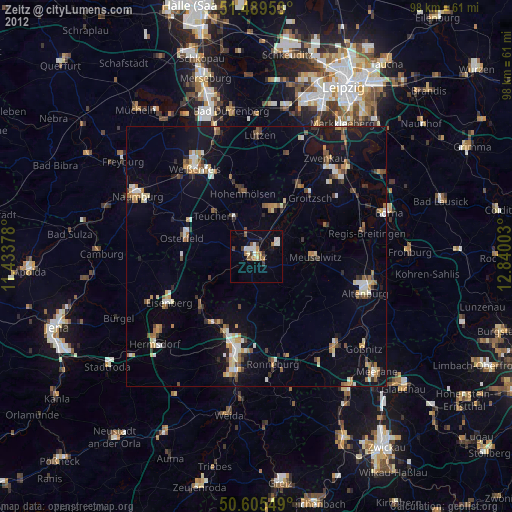
» Earth at Night: Flat Maps 2012, 2016