Ronneburg night lights from space
Night Light of Ronneburg (Thuringia) from space (Germany) Src. Average luminocity for 10x10km area is 4.3123% and for 50x50km: 6.5518%.
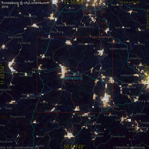
Analysis of Ronneburg night lights 2016
Square area 10x10 km:
 0%
0%90-99
0%80-89
0.56%70-79
0%60-69
0.42%50-59
1.82%40-49
0.56%30-39
1.12%20-29
0.56%10-19
5.18%0-9
89.78%Square area 50x50 km:
0.89%90-99
1.12%80-89
0.53%70-79
0.96%60-69
0.79%50-59
0.93%40-49
0.53%30-39
0.66%20-29
0.8%10-19
5.23%0-9
87.56%Clear (daylight) street map image can be seen on geolist.org.
Map coordinates:
51° 18' 18.3" North, 11° 29' 0.7" East
50° 51' 48.2" North, 12° 11' 12" East
50° 25' 3" North, 12° 53' 23.2" East
Some cities around Ronneburg sort by population:
• Gera
7.6 km =4.7 mi,  284°
284°
• Zeitz
21 km =13 mi,  350°
350°
• Werdau
19.4 km =12.1 mi,  136°
136°
• Crimmitschau
15.2 km =9.4 mi,  110°
110°
• Meerane
19.6 km =12.2 mi,  95°
95°
• Schmölln
12.3 km =7.6 mi,  72°
72°
• Meuselwitz
21.5 km =13.4 mi,  21°
21°
• Weida
13.3 km =8.3 mi,  221°
221°
2845229 (p: 5,482)
Sources (retrieved 2019-11-25):
» Earth at Night: Flat Maps 2012, 2016