Weißenfels night lights from space
Night Light of Weißenfels (Saxony-Anhalt) from space (Germany) Src. Average luminocity for 10x10km area is 15.5742% and for 50x50km: 7.7935%.
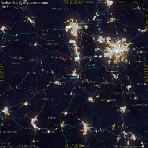
Analysis of Weißenfels night lights 2016
Square area 10x10 km:
 2.24%
2.24%90-99
1.54%80-89
3.64%70-79
2.38%60-69
0.84%50-59
1.54%40-49
1.12%30-39
0.7%20-29
0.7%10-19
14.57%0-9
70.73%Square area 50x50 km:
1.43%90-99
1.52%80-89
0.68%70-79
0.64%60-69
0.75%50-59
0.69%40-49
0.83%30-39
1.02%20-29
2.61%10-19
5.79%0-9
84.05%Clear (daylight) street map image can be seen on geolist.org.
Map coordinates:
51° 38' 23.8" North, 11° 15' 55.1" East
51° 12' 5.3" North, 11° 58' 6.3" East
50° 45' 31.7" North, 12° 40' 17.6" East
Some cities around Weißenfels sort by population:
• Merseburg
17.1 km =10.6 mi,  4°
4°
• Naumburg
12.5 km =7.8 mi,  242°
242°
• Bad Dürrenberg
12.5 km =7.8 mi,  32°
32°
• Hohenmölsen
10.4 km =6.5 mi,  117°
117°
• Leuna
13.4 km =8.3 mi,  14°
14°
• Braunsbedra
10.9 km =6.8 mi,  329°
329°
• Mücheln
15.4 km =9.6 mi,  313°
313°
• Bad Kösen
18.7 km =11.6 mi,  246°
246°
2811899 (p: 29,792)
Sources (retrieved 2019-11-25):
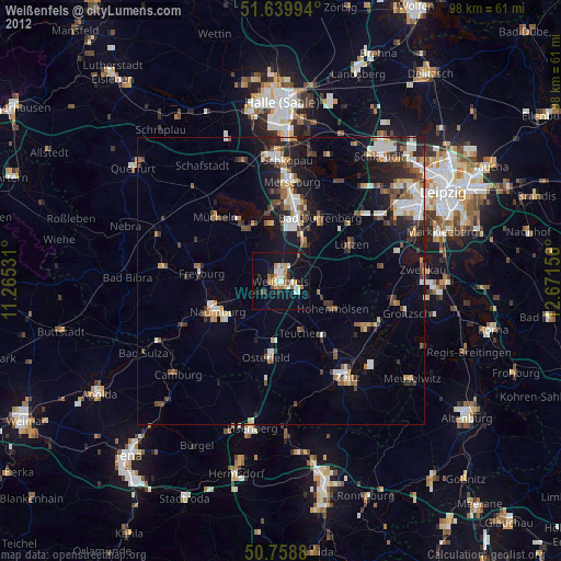
» Earth at Night: Flat Maps 2012, 2016