Altenburg night lights from space
Night Light of Altenburg (Thuringia) from space (Germany) Src. Average luminocity for 10x10km area is 12.4358% and for 50x50km: 4.6116%.
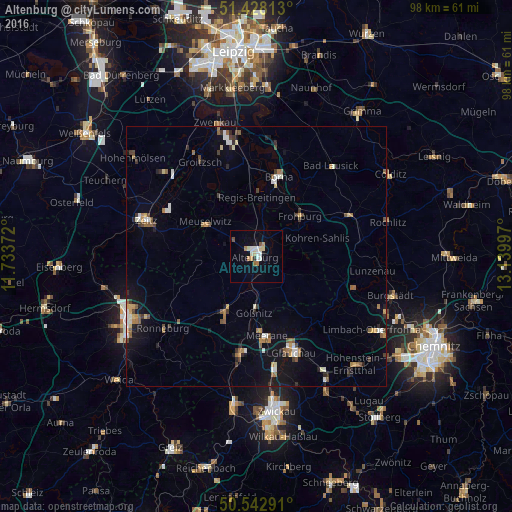
Analysis of Altenburg night lights 2016
Square area 10x10 km:
 2.27%
2.27%90-99
2.54%80-89
1.6%70-79
0.8%60-69
2.27%50-59
0.94%40-49
0.27%30-39
0.4%20-29
0.13%10-19
3.07%0-9
85.7%Square area 50x50 km:
0.49%90-99
0.71%80-89
0.3%70-79
0.53%60-69
0.65%50-59
0.83%40-49
0.42%30-39
0.67%20-29
0.51%10-19
2.7%0-9
92.19%Clear (daylight) street map image can be seen on geolist.org.
Map coordinates:
51° 25' 41.3" North, 11° 44' 1.4" East
50° 59' 15.5" North, 12° 26' 12.6" East
50° 32' 34.5" North, 13° 8' 23.9" East
Some cities around Altenburg sort by population:
• Crimmitschau
19.3 km =12 mi,  189°
189°
• Borna
15.7 km =9.8 mi,  15°
15°
• Meerane
15.8 km =9.8 mi,  172°
172°
• Schmölln
11.7 km =7.3 mi,  210°
210°
• Penig
19.7 km =12.2 mi,  107°
107°
• Meuselwitz
11.4 km =7.1 mi,  302°
302°
• Frohburg
11.4 km =7.1 mi,  47°
47°
• Geithain
19.7 km =12.2 mi,  67°
67°
2957773 (p: 38,568)
Sources (retrieved 2019-11-25):
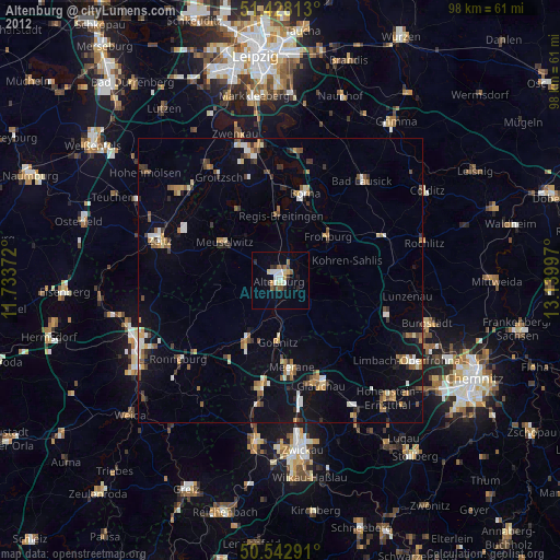
» Earth at Night: Flat Maps 2012, 2016