Zehlendorf night lights from space
Night Light of Zehlendorf (Berlin) from space (Germany) Src. Average luminocity for 10x10km area is 68.8977% and for 50x50km: 35.9733%.
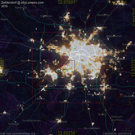
Analysis of Zehlendorf night lights 2016
Square area 10x10 km:
 16.54%
90-99
19.32%80-89
11.24%70-79
9.6%60-69
8.08%50-59
5.18%40-49
5.81%30-39
8.21%20-29
13.01%10-19
3.03%0-9
0%Square area 50x50 km:
10.91%90-99
9.2%80-89
3.52%70-79
2.9%60-69
2.94%50-59
3.07%40-49
3.33%30-39
3.92%20-29
8.09%10-19
11.92%0-9
40.19%Clear (daylight) street map image can be seen on geolist.org.
Map coordinates:
52° 51' 35.7" North, 12° 32' 48.8" East
52° 25' 60" North, 13° 15' 0" East
52° 0' 9.2" North, 13° 57' 11.3" East
Some cities around Zehlendorf sort by population:
• Lichterfelde
3.9 km =2.4 mi,  90°
90°
• Schmargendorf
5.4 km =3.4 mi,  30°
30°
• Teltow
3.4 km =2.1 mi,  168°
168°
• Kleinmachnow
3.3 km =2.1 mi,  210°
210°
• Nikolassee
3.3 km =2.1 mi,  272°
272°
• Dahlem
3.7 km =2.3 mi,  42°
42°
• Stahnsdorf
6 km =3.7 mi,  202°
202°
• Grunewald
5.7 km =3.5 mi,  10°
10°
2805059 (p: 58,469)
Sources (retrieved 2019-11-25):
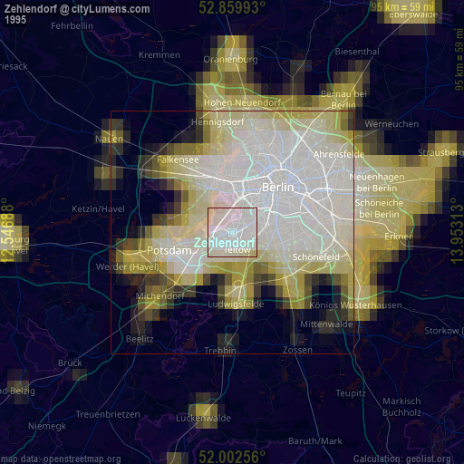
» NASA, Earths city lights 1995
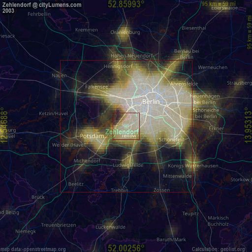
» NASA city lights 2003
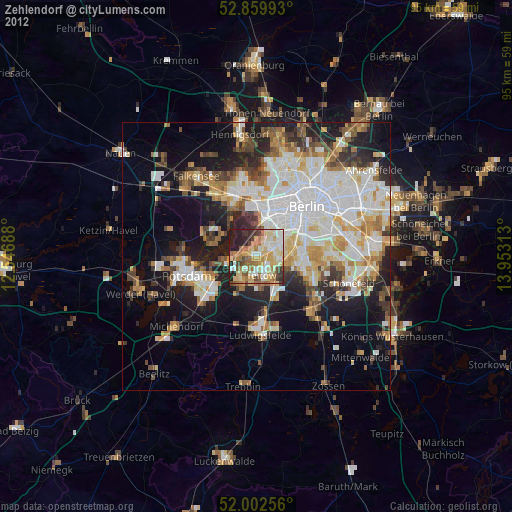
» Earth at Night: Flat Maps 2012, 2016