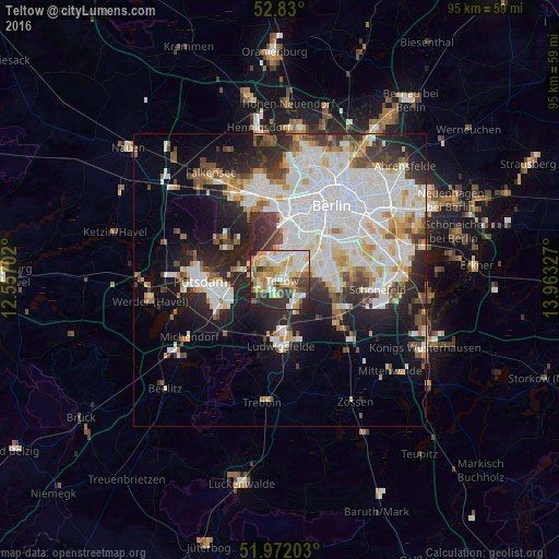
Teltow night lights from space
Night Light of Teltow (Brandenburg) from space (Germany) Src. Average luminocity for 10x10km area is 67.678% and for 50x50km: 35.1786%.
Analysis of Teltow night lights 2016
Square area 10x10 km:
 12.75%
90-99
18.56%80-89
13.13%70-79
10.1%60-69
7.83%50-59
7.58%40-49
6.31%30-39
9.6%20-29
11.49%10-19
2.65%0-9
0%Square area 50x50 km:
10.9%90-99
9.13%80-89
3.46%70-79
2.91%60-69
2.64%50-59
2.89%40-49
3.29%30-39
3.88%20-29
7.56%10-19
10.7%0-9
42.64%Clear (daylight) street map image can be seen on geolist.org.
Map coordinates:
52° 49' 48" North, 12° 33' 25.3" East
52° 24' 11.2" North, 13° 15' 36.5" East
51° 58' 19.3" North, 13° 57' 47.8" East
Some cities around Teltow sort by population:
• Lichterfelde
4.7 km =2.9 mi,  43°
43°
• Zehlendorf
3.4 km =2.1 mi,  348°
348°
• Lankwitz
6.9 km =4.3 mi,  57°
57°
• Kleinmachnow
2.4 km =1.5 mi,  282°
282°
• Nikolassee
5.3 km =3.3 mi,  310°
310°
• Dahlem
6.4 km =4 mi,  16°
16°
• Stahnsdorf
3.7 km =2.3 mi,  233°
233°
• Großbeeren
6 km =3.7 mi,  145°
145°
2823567 (p: 19,530)
Sources (retrieved 2019-11-25):
» Earth at Night: Flat Maps 2012, 2016