Lichterfelde night lights from space
Night Light of Lichterfelde (Berlin) from space (Germany) Src. Average luminocity for 10x10km area is 81.6023% and for 50x50km: 37.4962%.
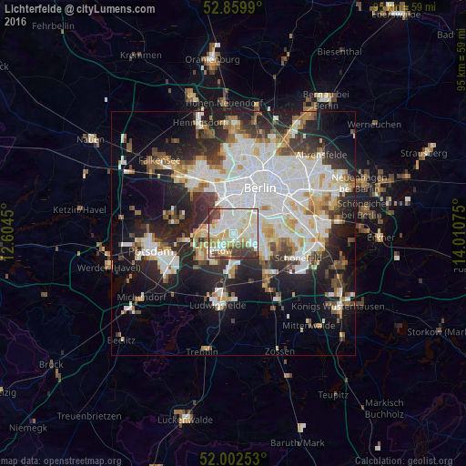
Analysis of Lichterfelde night lights 2016
Square area 10x10 km:
 24.62%
90-99
32.95%80-89
11.87%70-79
5.05%60-69
3.66%50-59
4.42%40-49
6.57%30-39
10.86%20-29
0%10-19
0%0-9
0%Square area 50x50 km:
11.05%90-99
9.5%80-89
3.65%70-79
3%60-69
3.08%50-59
3.3%40-49
3.63%30-39
4.2%20-29
8.72%10-19
13.95%0-9
35.91%Clear (daylight) street map image can be seen on geolist.org.
Map coordinates:
52° 51' 35.6" North, 12° 36' 16.2" East
52° 25' 59.9" North, 13° 18' 27.4" East
52° 0' 9.1" North, 14° 0' 38.7" East
Some cities around Lichterfelde sort by population:
• Schöneberg
4.7 km =2.9 mi,  37°
37°
• Steglitz
3 km =1.9 mi,  33°
33°
• Zehlendorf
3.9 km =2.4 mi,  270°
270°
• Lankwitz
2.6 km =1.6 mi,  82°
82°
• Marienfelde
4.4 km =2.7 mi,  111°
111°
• Friedenau
4.5 km =2.8 mi,  18°
18°
• Teltow
4.7 km =2.9 mi,  223°
223°
• Dahlem
3.1 km =1.9 mi,  333°
333°
2878018 (p: 80,149)
Sources (retrieved 2019-11-25):
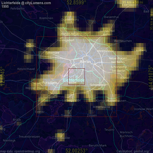
» NASA, Earths city lights 1995
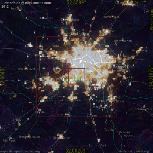
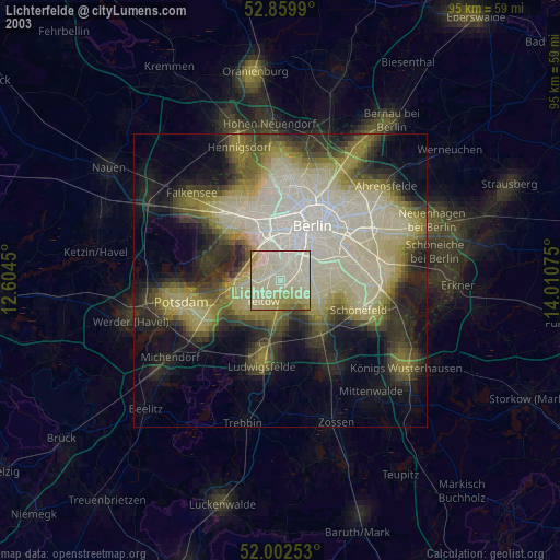
» NASA city lights 2003
» Earth at Night: Flat Maps 2012, 2016