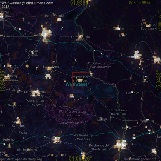
Weißwasser night lights from space
Night Light of Weißwasser (Saxony) from space (Germany) Src. Average luminocity for 10x10km area is 3.8115% and for 50x50km: 1.6827%.
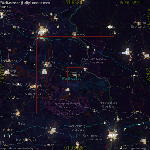
Analysis of Weißwasser night lights 2016
Square area 10x10 km:
 0.27%
0.27%90-99
0.27%80-89
0%70-79
0%60-69
1.07%50-59
1.2%40-49
1.6%30-39
0.94%20-29
0.53%10-19
0%0-9
94.12%Square area 50x50 km:
0.2%90-99
0.23%80-89
0.09%70-79
0.15%60-69
0.21%50-59
0.28%40-49
0.38%30-39
0.28%20-29
0.19%10-19
0.89%0-9
97.1%Clear (daylight) street map image can be seen on geolist.org.
Map coordinates:
51° 56' 22.6" North, 13° 56' 13.4" East
51° 30' 14.5" North, 14° 38' 24.6" East
51° 3' 51.3" North, 15° 20' 35.9" East
Some cities around Weißwasser sort by population:
• Cottbus
35.5 km =22.1 mi,  322°
322°
• Hoyerswerda
29 km =18 mi,  255°
255°
• Żary, PL
37.6 km =23.4 mi,  65°
65°
• Forst
25.7 km =16 mi,  359°
359°
• Niesky
26.7 km =16.6 mi,  151°
151°
• Drebkau
33.3 km =20.7 mi,  300°
300°
• Wittichenau
30.5 km =19 mi,  244°
244°
• Rothenburg
29.6 km =18.4 mi,  129°
129°
2811698 (p: 22,099)
Sources (retrieved 2019-11-25):
» Earth at Night: Flat Maps 2012, 2016