Drebkau night lights from space
Night Light of Drebkau (Brandenburg) from space (Germany) Src. Average luminocity for 10x10km area is 0.6485% and for 50x50km: 4.006%.
Analysis of Drebkau night lights 2016
Square area 10x10 km:
 0%
0%90-99
0.56%80-89
0%70-79
0%60-69
0%50-59
0%40-49
0%30-39
0%20-29
0%10-19
0%0-9
99.44%Square area 50x50 km:
0.53%90-99
0.67%80-89
0.26%70-79
0.47%60-69
0.5%50-59
0.75%40-49
0.56%30-39
0.59%20-29
0.34%10-19
2.21%0-9
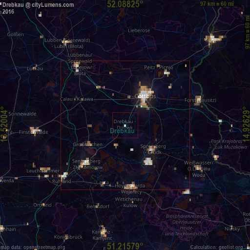
93.1%Clear (daylight) street map image can be seen on geolist.org.
Map coordinates:
52° 5' 17.7" North, 13° 31' 12.1" East
51° 39' 14.8" North, 14° 13' 23.4" East
51° 12' 56.8" North, 14° 55' 34.6" East
Some cities around Drebkau sort by population:
• Cottbus
13.6 km =8.5 mi,  32°
32°
• Hoyerswerda
24.1 km =15 mi,  177°
177°
• Senftenberg
21 km =13 mi,  226°
226°
• Großräschen
16.4 km =10.2 mi,  243°
243°
• Kolkwitz
10.8 km =6.7 mi,  9°
9°
• Vetschau
17.7 km =11 mi,  326°
326°
• Calau
21.1 km =13.1 mi,  298°
298°
• Peitz
26.1 km =16.2 mi, 29°
2935298 (p: 6,336)
Sources (retrieved 2019-11-25):
» Earth at Night: Flat Maps 2012, 2016