Hoyerswerda night lights from space
Night Light of Hoyerswerda (Saxony) from space (Germany) Src. Average luminocity for 10x10km area is 7.6176% and for 50x50km: 2.4691%.
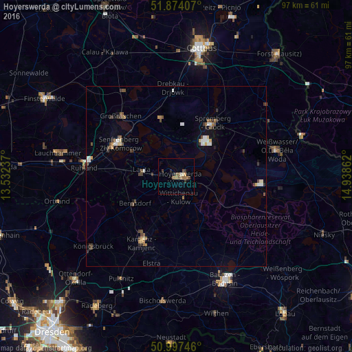
Analysis of Hoyerswerda night lights 2016
Square area 10x10 km:
 0%
0%90-99
0.8%80-89
0.8%70-79
0.53%60-69
2.14%50-59
2.94%40-49
0.8%30-39
2.14%20-29
0.53%10-19
0%0-9
89.3%Square area 50x50 km:
0.28%90-99
0.37%80-89
0.19%70-79
0.24%60-69
0.28%50-59
0.5%40-49
0.39%30-39
0.56%20-29
0.22%10-19
0.51%0-9
96.47%Clear (daylight) street map image can be seen on geolist.org.
Map coordinates:
51° 52' 26.7" North, 13° 31' 56.5" East
51° 26' 16.3" North, 14° 14' 7.8" East
50° 59' 50.9" North, 14° 56' 19" East
Some cities around Hoyerswerda sort by population:
• Senftenberg
18.9 km =11.7 mi,  300°
300°
• Kamenz
21.3 km =13.2 mi,  207°
207°
• Großräschen
22.8 km =14.2 mi,  316°
316°
• Schipkau
25 km =15.5 mi,  290°
290°
• Schwarzheide
26.7 km =16.6 mi,  279°
279°
• Drebkau
24.1 km =15 mi,  357°
357°
• Wittichenau
5.9 km =3.7 mi,  174°
174°
• Bernsdorf
13.6 km =8.5 mi,  238°
238°
2898304 (p: 43,681)
Sources (retrieved 2019-11-25):
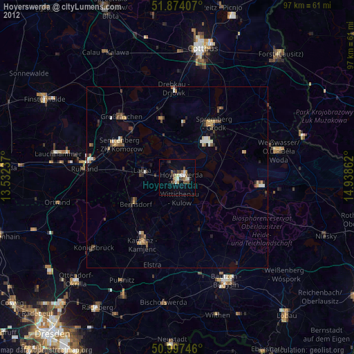
» Earth at Night: Flat Maps 2012, 2016