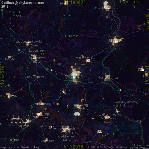
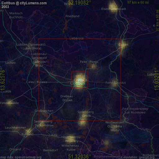
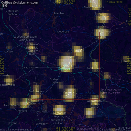
Cottbus night lights from space
Night Light of Cottbus (Brandenburg) from space (Germany) Src. Average luminocity for 10x10km area is 33.2339% and for 50x50km: 2.8183%.
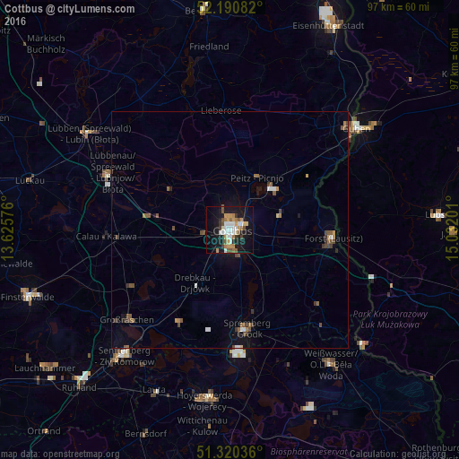
Analysis of Cottbus night lights 2016
Square area 10x10 km:
 5.6%
5.6%90-99
6.44%80-89
2.1%70-79
7.14%60-69
4.2%50-59
3.64%40-49
3.36%30-39
3.08%20-29
3.64%10-19
32.91%0-9
27.87%Square area 50x50 km:
0.33%90-99
0.34%80-89
0.13%70-79
0.39%60-69
0.39%50-59
0.6%40-49
0.49%30-39
0.46%20-29
0.22%10-19
2.07%0-9
94.58%Clear (daylight) street map image can be seen on geolist.org.
Map coordinates:
52° 11' 27" North, 13° 37' 32.7" East
51° 45' 27.7" North, 14° 19' 44" East
51° 19' 13.3" North, 15° 1' 55.2" East
Some cities around Cottbus sort by population:
• Forst
21.5 km =13.4 mi,  96°
96°
• Lübbenau
28.4 km =17.6 mi,  294°
294°
• Großräschen
29 km =18 mi,  229°
229°
• Kolkwitz
5.5 km =3.4 mi,  261°
261°
• Vetschau
17.5 km =10.9 mi,  280°
280°
• Calau
25.9 km =16.1 mi,  266°
266°
• Drebkau
13.6 km =8.5 mi,  212°
212°
• Peitz
12.6 km =7.8 mi,  26°
26°
2939811 (p: 84,754)
Sources (retrieved 2019-11-25):
» NASA, Earths city lights 1995
» NASA city lights 2003
» Earth at Night: Flat Maps 2012, 2016