Żary night lights from space
Night Light of Żary (Lubusz) from space (Poland) Src. Average luminocity for 10x10km area is 21.2017% and for 50x50km: 2.0351%.
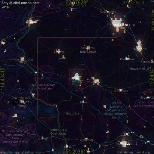
Analysis of Żary night lights 2016
Square area 10x10 km:
 5.74%
5.74%90-99
6.02%80-89
0.56%70-79
0.98%60-69
1.26%50-59
0.56%40-49
1.68%30-39
0.84%20-29
1.4%10-19
27.73%0-9
53.22%Square area 50x50 km:
0.32%90-99
0.37%80-89
0.11%70-79
0.13%60-69
0.4%50-59
0.21%40-49
0.42%30-39
0.13%20-29
0.13%10-19
1.14%0-9
96.64%Clear (daylight) street map image can be seen on geolist.org.
Map coordinates:
52° 4' 34.6" North, 14° 26' 2.9" East
51° 38' 31.4" North, 15° 8' 14.2" East
51° 12' 13" North, 15° 50' 25.4" East
Some cities around Żary sort by population:
• Żagań
12.6 km =7.8 mi,  102°
102°
• Forst, DE
35.8 km =22.2 mi,  286°
286°
• Weißwasser, DE
37.6 km =23.4 mi,  245°
245°
• Lubsko
19.5 km =12.1 mi,  324°
324°
• Szprotawa
28.9 km =18 mi,  107°
107°
• Kożuchów
33.6 km =20.9 mi,  69°
69°
• Rothenburg, DE
36.2 km =22.5 mi,  198°
198°
• Nowogród Bobrzański
18.7 km =11.6 mi,  21°
21°
3080644 (p: 38,779)
Sources (retrieved 2019-11-25):
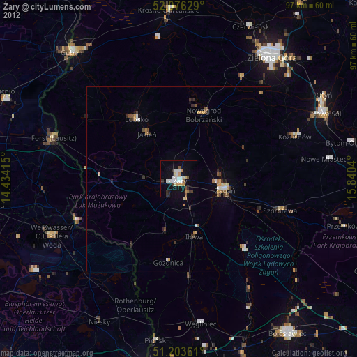
» Earth at Night: Flat Maps 2012, 2016