Korschenbroich night lights from space
Night Light of Korschenbroich (North Rhine-Westphalia) from space (Germany) Src. Average luminocity for 10x10km area is 36.9385% and for 50x50km: 30.0579%.
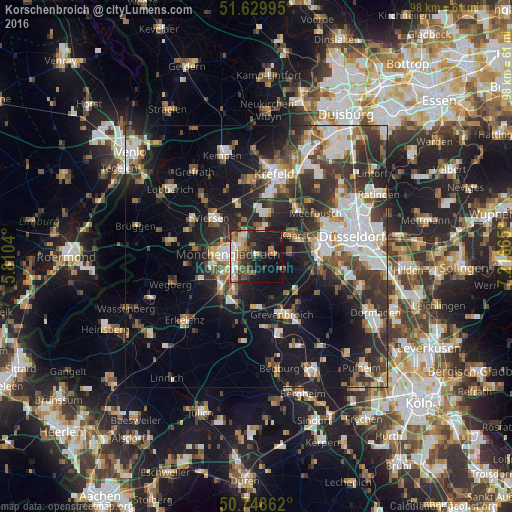
Analysis of Korschenbroich night lights 2016
Square area 10x10 km:
 4.55%
4.55%90-99
5.21%80-89
3.61%70-79
5.21%60-69
6.42%50-59
4.41%40-49
7.89%30-39
6.95%20-29
11.5%10-19
26.6%0-9
17.65%Square area 50x50 km:
5.43%90-99
6.3%80-89
2.29%70-79
2.69%60-69
3.15%50-59
4.08%40-49
4.85%30-39
6.08%20-29
9.58%10-19
16.82%0-9
38.72%Clear (daylight) street map image can be seen on geolist.org.
Map coordinates:
51° 37' 47.8" North, 5° 48' 37.4" East
51° 11' 29" North, 6° 30' 48.7" East
50° 44' 55" North, 7° 12' 59.9" East
Some cities around Korschenbroich sort by population:
• Mönchengladbach
5 km =3.1 mi,  262°
262°
• Neuss
12 km =7.5 mi,  86°
86°
• Viersen
10.9 km =6.8 mi,  310°
310°
• Grevenbroich
12.2 km =7.6 mi,  156°
156°
• Willich
8.4 km =5.2 mi,  16°
16°
• Neubrück
10.8 km =6.7 mi,  126°
126°
• Kaarst
8.5 km =5.3 mi,  60°
60°
• Jüchen
10.2 km =6.3 mi,  185°
185°
2885397 (p: 33,406)
Sources (retrieved 2019-11-25):
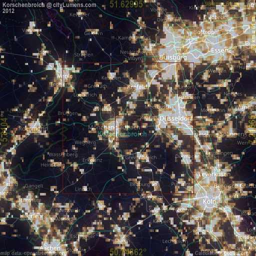
» Earth at Night: Flat Maps 2012, 2016