Willich night lights from space
Night Light of Willich (North Rhine-Westphalia) from space (Germany) Src. Average luminocity for 10x10km area is 38.0336% and for 50x50km: 34.8478%.
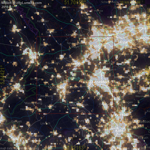
Analysis of Willich night lights 2016
Square area 10x10 km:
 2.94%
2.94%90-99
7.28%80-89
4.06%70-79
2.24%60-69
4.62%50-59
4.62%40-49
5.46%30-39
7.7%20-29
33.61%10-19
27.45%0-9
0%Square area 50x50 km:
7.17%90-99
8%80-89
2.86%70-79
3.21%60-69
3.4%50-59
4.33%40-49
5.27%30-39
6.86%20-29
9.64%10-19
15.47%0-9
33.78%Clear (daylight) street map image can be seen on geolist.org.
Map coordinates:
51° 42' 5.7" North, 5° 50' 39.2" East
51° 15' 49.4" North, 6° 32' 50.4" East
50° 49' 17.9" North, 7° 15' 1.7" East
Some cities around Willich sort by population:
• Mönchengladbach
11.4 km =7.1 mi,  220°
220°
• Krefeld
8.1 km =5 mi,  3°
3°
• Neuss
12 km =7.5 mi,  127°
127°
• Viersen
10.7 km =6.6 mi,  264°
264°
• Meerbusch
9.9 km =6.2 mi,  97°
97°
• Kaarst
6.3 km =3.9 mi, 127°
• Korschenbroich
8.4 km =5.2 mi,  196°
196°
• Tönisvorst
7.4 km =4.6 mi,  329°
329°
2808559 (p: 51,843)
Sources (retrieved 2019-11-25):
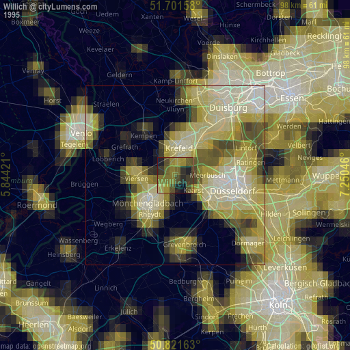
» NASA, Earths city lights 1995
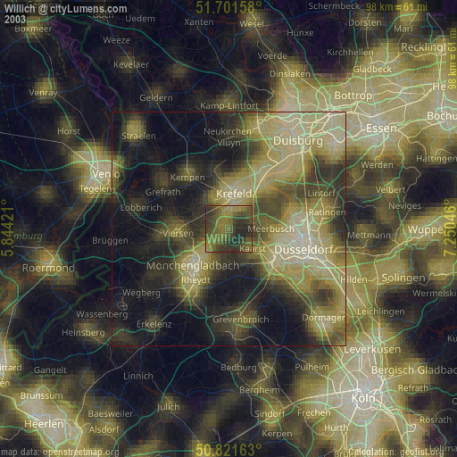
» NASA city lights 2003
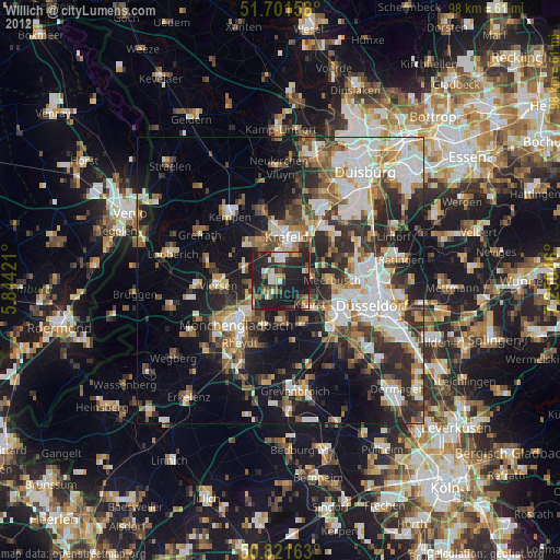
» Earth at Night: Flat Maps 2012, 2016