Syke night lights from space
Night Light of Syke (Lower Saxony) from space (Germany) Src. Average luminocity for 10x10km area is 0.0013% and for 50x50km: 7.4649%.
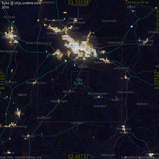
Analysis of Syke night lights 2016
Square area 10x10 km:
 0%
0%90-99
0%80-89
0%70-79
0%60-69
0%50-59
0%40-49
0%30-39
0%20-29
0%10-19
0%0-9
100%Square area 50x50 km:
1.48%90-99
1.72%80-89
0.61%70-79
0.75%60-69
0.85%50-59
0.75%40-49
0.97%30-39
0.9%20-29
2.31%10-19
4.16%0-9
85.5%Clear (daylight) street map image can be seen on geolist.org.
Map coordinates:
53° 20' 7.4" North, 8° 7' 8.3" East
52° 54' 48.4" North, 8° 49' 19.5" East
52° 29' 14.5" North, 9° 31' 30.8" East
Some cities around Syke sort by population:
• Bremen
18 km =11.2 mi,  356°
356°
• Delmenhorst
20 km =12.4 mi,  320°
320°
• Stuhr
14.2 km =8.8 mi,  340°
340°
• Achim
17.7 km =11 mi,  50°
50°
• Bassum
9.4 km =5.8 mi,  222°
222°
• Oyten
20 km =12.4 mi,  40°
40°
• Twistringen
17.5 km =10.9 mi, 223°
• Bruchhausen-Vilsen
14.7 km =9.1 mi,  129°
129°
2824461 (p: 24,274)
Sources (retrieved 2019-11-25):
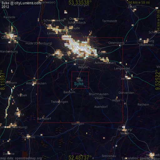
» Earth at Night: Flat Maps 2012, 2016