Oyten night lights from space
Night Light of Oyten (Lower Saxony) from space (Germany) Src. Average luminocity for 10x10km area is 21.4365% and for 50x50km: 8.6547%.
Analysis of Oyten night lights 2016
Square area 10x10 km:
 3.17%
3.17%90-99
3.17%80-89
2.12%70-79
2.38%60-69
4.76%50-59
1.59%40-49
2.65%30-39
0.93%20-29
3.84%10-19
20.24%0-9
55.16%Square area 50x50 km:
1.59%90-99
1.92%80-89
0.73%70-79
0.89%60-69
1.05%50-59
0.73%40-49
1.13%30-39
1.04%20-29
2.98%10-19
5.62%0-9
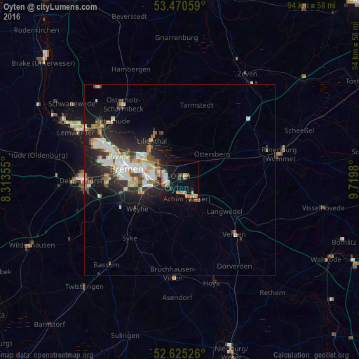
82.33%Clear (daylight) street map image can be seen on geolist.org.
Map coordinates:
53° 28' 14.1" North, 8° 18' 48.8" East
53° 3' 0" North, 9° 1' 0" East
52° 37' 30.9" North, 9° 43' 11.3" East
Some cities around Oyten sort by population:
• Bremen
14.2 km =8.8 mi,  281°
281°
• Stuhr
17.9 km =11.1 mi,  264°
264°
• Achim
4 km =2.5 mi,  170°
170°
• Lilienthal
12.7 km =7.9 mi,  323°
323°
• Langwedel
13.8 km =8.6 mi,  125°
125°
• Ottersberg
10.8 km =6.7 mi,  51°
51°
• Grasberg
15 km =9.3 mi,  351°
351°
• Sottrum
16.3 km =10.1 mi,  62°
62°
2855794 (p: 15,286)
Sources (retrieved 2019-11-25):
» Earth at Night: Flat Maps 2012, 2016