Achim night lights from space
Night Light of Achim (Lower Saxony) from space (Germany) Src. Average luminocity for 10x10km area is 14.8386% and for 50x50km: 8.4175%.

Analysis of Achim night lights 2016
Square area 10x10 km:
 1.72%
1.72%90-99
1.98%80-89
1.59%70-79
1.32%60-69
3.44%50-59
1.59%40-49
2.65%30-39
0.53%20-29
0.53%10-19
10.05%0-9
74.6%Square area 50x50 km:
1.58%90-99
1.86%80-89
0.72%70-79
0.87%60-69
1.03%50-59
0.69%40-49
1.01%30-39
1.07%20-29
3.02%10-19
5.23%0-9
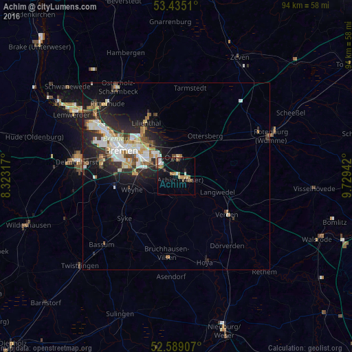
82.92%Clear (daylight) street map image can be seen on geolist.org.
Map coordinates:
53° 26' 6.4" North, 8° 19' 23.4" East
53° 0' 51" North, 9° 1' 34.7" East
52° 35' 20.7" North, 9° 43' 45.9" East
Some cities around Achim sort by population:
• Bremen
16.1 km =10 mi,  294°
294°
• Verden
17.2 km =10.7 mi,  125°
125°
• Syke
17.7 km =11 mi,  230°
230°
• Lilienthal
16.4 km =10.2 mi,  329°
329°
• Oyten
4 km =2.5 mi,  350°
350°
• Langwedel
11.4 km =7.1 mi,  110°
110°
• Ottersberg
13.2 km =8.2 mi,  36°
36°
• Sottrum
17.9 km =11.1 mi,  50°
50°
2959681 (p: 30,013)
Sources (retrieved 2019-11-25):
» Earth at Night: Flat Maps 2012, 2016