Twistringen night lights from space
Night Light of Twistringen (Lower Saxony) from space (Germany) Src. Average luminocity for 10x10km area is 0.7942% and for 50x50km: 1.0777%.
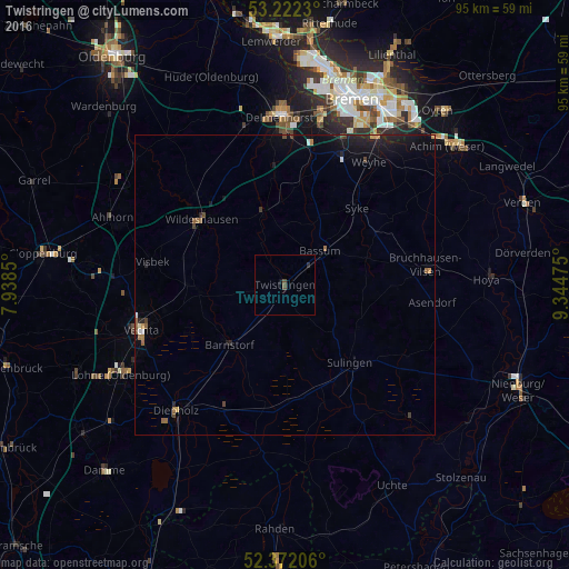
Analysis of Twistringen night lights 2016
Square area 10x10 km:
 0%
0%90-99
0%80-89
0%70-79
0%60-69
0%50-59
0.13%40-49
0.88%30-39
0%20-29
0.51%10-19
0.51%0-9
97.98%Square area 50x50 km:
0.04%90-99
0.07%80-89
0.02%70-79
0.1%60-69
0.2%50-59
0.18%40-49
0.21%30-39
0.07%20-29
0.38%10-19
1.39%0-9
97.33%Clear (daylight) street map image can be seen on geolist.org.
Map coordinates:
53° 13' 20.3" North, 7° 56' 18.6" East
52° 47' 57.3" North, 8° 38' 29.9" East
52° 22' 19.4" North, 9° 20' 41.1" East
Some cities around Twistringen sort by population:
• Syke
17.5 km =10.9 mi,  43°
43°
• Wildeshausen
17.5 km =10.9 mi,  307°
307°
• Bassum
8.1 km =5 mi,  45°
45°
• Sulingen
17.1 km =10.6 mi,  138°
138°
• Visbek
22.2 km =13.8 mi,  279°
279°
• Goldenstedt
14.1 km =8.8 mi,  265°
265°
• Dötlingen
22.9 km =14.2 mi, 310°
• Barnstorf
13.6 km =8.5 mi,  223°
223°
2820643 (p: 12,645)
Sources (retrieved 2019-11-25):
» Earth at Night: Flat Maps 2012, 2016