Stuhr night lights from space
Night Light of Stuhr (Lower Saxony) from space (Germany) Src. Average luminocity for 10x10km area is 31.0913% and for 50x50km: 9.7294%.
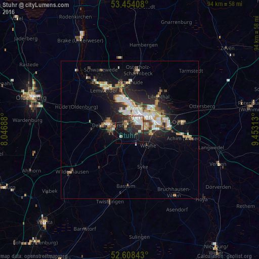
Analysis of Stuhr night lights 2016
Square area 10x10 km:
 5.95%
5.95%90-99
6.22%80-89
3.04%70-79
1.85%60-69
2.65%50-59
1.98%40-49
3.17%30-39
7.28%20-29
13.89%10-19
28.7%0-9
25.26%Square area 50x50 km:
1.64%90-99
2.06%80-89
0.84%70-79
1.01%60-69
1.24%50-59
0.91%40-49
1.36%30-39
1.07%20-29
3.14%10-19
6.71%0-9
80.03%Clear (daylight) street map image can be seen on geolist.org.
Map coordinates:
53° 27' 14.7" North, 8° 2' 48.8" East
53° 1' 60" North, 8° 45' 0" East
52° 36' 30.3" North, 9° 27' 11.3" East
Some cities around Stuhr sort by population:
• Bremen
6 km =3.7 mi,  39°
39°
• Delmenhorst
8.2 km =5.1 mi,  283°
283°
• Burglesum
15.2 km =9.4 mi,  344°
344°
• Ganderkesee
14.5 km =9 mi,  270°
270°
• Syke
14.2 km =8.8 mi,  160°
160°
• Lilienthal
15.8 km =9.8 mi, 40°
• Ritterhude
16.7 km =10.4 mi,  356°
356°
• Lemwerder
17.3 km =10.7 mi,  329°
329°
2825422 (p: 32,507)
Sources (retrieved 2019-11-25):
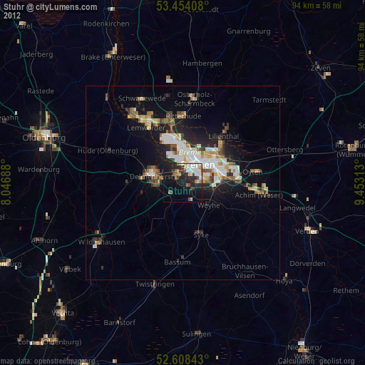
» Earth at Night: Flat Maps 2012, 2016