Bremen night lights from space
Night Light of Bremen from space (Germany) Src. Average luminocity for 10x10km area is 74.3611% and for 50x50km: 9.5438%.
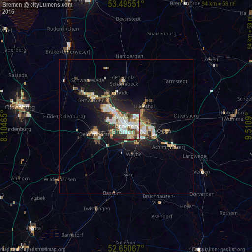
Analysis of Bremen night lights 2016
Square area 10x10 km:
 22.35%
90-99
26.32%80-89
8.2%70-79
6.61%60-69
5.95%50-59
4.37%40-49
5.16%30-39
11.9%20-29
7.8%10-19
1.32%0-9
0%Square area 50x50 km:
1.62%90-99
2.03%80-89
0.83%70-79
0.99%60-69
1.19%50-59
0.85%40-49
1.37%30-39
1.04%20-29
3.05%10-19
6.59%0-9
80.46%Clear (daylight) street map image can be seen on geolist.org.
Map coordinates:
53° 29' 43.8" North, 8° 6' 16.7" East
53° 4' 30.6" North, 8° 48' 28" East
52° 39' 2.4" North, 9° 30' 39.2" East
Some cities around Bremen sort by population:
• Delmenhorst
12.1 km =7.5 mi,  257°
257°
• Burglesum
12.8 km =8 mi,  321°
321°
• Stuhr
6 km =3.7 mi,  219°
219°
• Achim
16.1 km =10 mi,  114°
114°
• Lilienthal
9.8 km =6.1 mi,  40°
40°
• Oyten
14.2 km =8.8 mi,  101°
101°
• Ritterhude
12.9 km =8 mi,  338°
338°
• Lemwerder
16.3 km =10.1 mi,  308°
308°
2944388 (p: 546,501)
Sources (retrieved 2019-11-25):
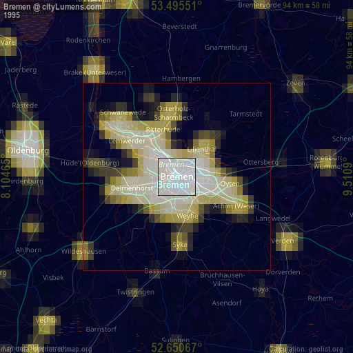
» NASA, Earths city lights 1995
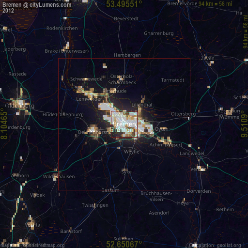
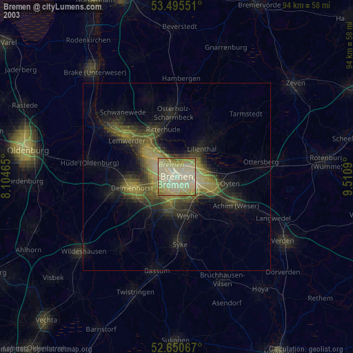
» NASA city lights 2003
» Earth at Night: Flat Maps 2012, 2016