Schwandorf in Bayern night lights from space
Night Light of Schwandorf in Bayern (Bavaria) from space (Germany) Src. Average luminocity for 10x10km area is 8.8997% and for 50x50km: 2.4484%.
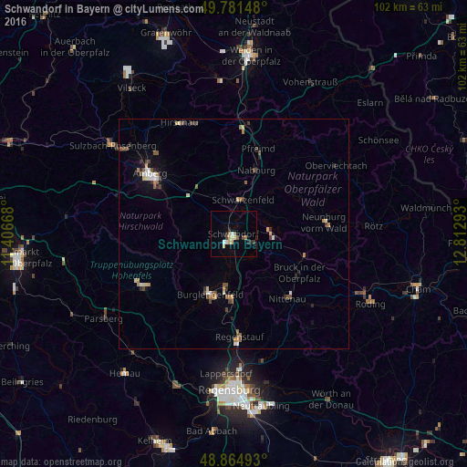
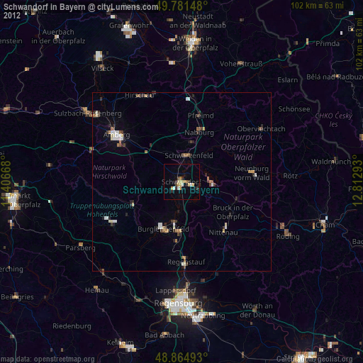
Analysis of Schwandorf in Bayern night lights 2016
Square area 10x10 km:
 1.07%
1.07%90-99
1.07%80-89
1.6%70-79
1.07%60-69
1.6%50-59
0.13%40-49
1.07%30-39
1.07%20-29
2.14%10-19
0.4%0-9
88.77%Square area 50x50 km:
0.23%90-99
0.33%80-89
0.28%70-79
0.28%60-69
0.31%50-59
0.49%40-49
0.44%30-39
0.33%20-29
0.41%10-19
0.54%0-9
96.36%Clear (daylight) street map image can be seen on geolist.org.
Map coordinates:
49° 46' 53.3" North, 11° 24' 24" East
49° 19' 31.2" North, 12° 6' 35.3" East
48° 51' 53.7" North, 12° 48' 46.5" East
Some cities around Schwandorf in Bayern sort by population:
• Burglengenfeld
14.3 km =8.9 mi,  199°
199°
• Maxhütte-Haidhof
14 km =8.7 mi,  185°
185°
• Kümmersbruck
19.1 km =11.9 mi,  303°
303°
• Nittenau
18.5 km =11.5 mi,  141°
141°
• Neunburg vorm Wald
20.2 km =12.6 mi,  82°
82°
• Teublitz
11.5 km =7.1 mi, 188°
• Nabburg
15.1 km =9.4 mi,  19°
19°
• Pfreimd
19.1 km =11.9 mi, 15°
2835297 (p: 28,235)
Sources (retrieved 2019-11-25):
» Earth at Night: Flat Maps 2012, 2016