Kümmersbruck night lights from space
Night Light of Kümmersbruck (Bavaria) from space (Germany) Src. Average luminocity for 10x10km area is 13.7567% and for 50x50km: 2.4051%.
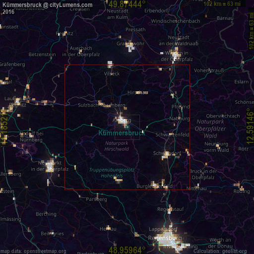
Analysis of Kümmersbruck night lights 2016
Square area 10x10 km:
 2.94%
2.94%90-99
3.07%80-89
0.94%70-79
0.4%60-69
1.47%50-59
2.67%40-49
0.94%30-39
0.94%20-29
2.14%10-19
7.75%0-9
76.74%Square area 50x50 km:
0.23%90-99
0.3%80-89
0.31%70-79
0.24%60-69
0.34%50-59
0.51%40-49
0.37%30-39
0.38%20-29
0.34%10-19
0.62%0-9
96.36%Clear (daylight) street map image can be seen on geolist.org.
Map coordinates:
49° 52' 28" North, 11° 11' 6.8" East
49° 25' 9" North, 11° 53' 18" East
48° 57' 34.7" North, 12° 35' 29.3" East
Some cities around Kümmersbruck sort by population:
• Amberg
3.2 km =2 mi,  324°
324°
• Schwandorf in Bayern
19.1 km =11.9 mi,  123°
123°
• Sulzbach-Rosenberg
13.8 km =8.6 mi,  311°
311°
• Schwarzenfeld
18.2 km =11.3 mi,  101°
101°
• Hirschau
14.5 km =9 mi,  16°
16°
• Nabburg
21.4 km =13.3 mi,  79°
79°
• Pfreimd
22.6 km =14 mi,  69°
69°
• Hahnbach
14.2 km =8.8 mi,  334°
334°
2882529 (p: 10,365)
Sources (retrieved 2019-11-25):
» Earth at Night: Flat Maps 2012, 2016