Nabburg night lights from space
Night Light of Nabburg (Bavaria) from space (Germany) Src. Average luminocity for 10x10km area is 1.472% and for 50x50km: 1.9242%.
Analysis of Nabburg night lights 2016
Square area 10x10 km:
 0%
0%90-99
0%80-89
0%70-79
0%60-69
0%50-59
0.7%40-49
0.98%30-39
0.56%20-29
0.56%10-19
1.12%0-9
96.08%Square area 50x50 km:
0.23%90-99
0.32%80-89
0.23%70-79
0.17%60-69
0.2%50-59
0.29%40-49
0.21%30-39
0.3%20-29
0.34%10-19
0.64%0-9
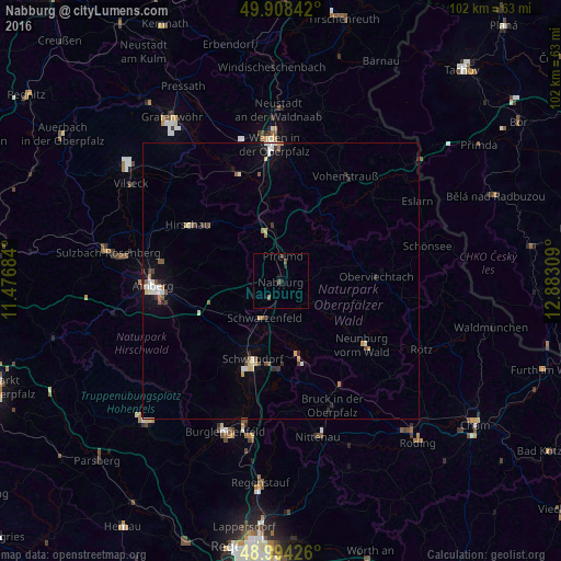
97.07%Clear (daylight) street map image can be seen on geolist.org.
Map coordinates:
49° 54' 30.3" North, 11° 28' 36.6" East
49° 27' 12.5" North, 12° 10' 47.9" East
48° 59' 39.3" North, 12° 52' 59.1" East
Some cities around Nabburg sort by population:
• Schwandorf in Bayern
15.1 km =9.4 mi,  199°
199°
• Kümmersbruck
21.4 km =13.3 mi,  259°
259°
• Neunburg vorm Wald
19 km =11.8 mi,  128°
128°
• Schwarzenfeld
8 km =5 mi, 204°
• Hirschau
19.7 km =12.2 mi,  300°
300°
• Wernberg-Köblitz
9.6 km =6 mi,  351°
351°
• Pfreimd
4.2 km =2.6 mi,  0°
0°
• Oberviechtach
17.1 km =10.6 mi,  88°
88°
2867262 (p: 5,994)
Sources (retrieved 2019-11-25):
» Earth at Night: Flat Maps 2012, 2016