Neunburg vorm Wald night lights from space
Night Light of Neunburg vorm Wald (Bavaria) from space (Germany) Src. Average luminocity for 10x10km area is 1.5802% and for 50x50km: 1.5224%.
Analysis of Neunburg vorm Wald night lights 2016
Square area 10x10 km:
 0%
0%90-99
0.53%80-89
0%70-79
0.8%60-69
0.27%50-59
0%40-49
0.4%30-39
0.13%20-29
0%10-19
0%0-9
97.86%Square area 50x50 km:
0.09%90-99
0.15%80-89
0.13%70-79
0.28%60-69
0.25%50-59
0.3%40-49
0.35%30-39
0.24%20-29
0.33%10-19
0.13%0-9
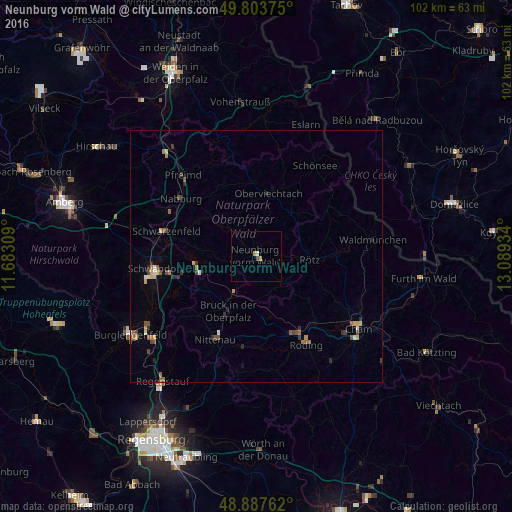
97.75%Clear (daylight) street map image can be seen on geolist.org.
Map coordinates:
49° 48' 13.5" North, 11° 40' 59.1" East
49° 20' 52.2" North, 12° 23' 10.4" East
48° 53' 15.4" North, 13° 5' 21.6" East
Some cities around Neunburg vorm Wald sort by population:
• Schwandorf in Bayern
20.2 km =12.6 mi,  262°
262°
• Roding
19.6 km =12.2 mi,  150°
150°
• Nittenau
19.1 km =11.9 mi,  206°
206°
• Waldmünchen
23.6 km =14.7 mi,  81°
81°
• Schwarzenfeld
18.7 km =11.6 mi,  283°
283°
• Nabburg
19 km =11.8 mi,  308°
308°
• Pfreimd
21.8 km =13.5 mi,  316°
316°
• Oberviechtach
12.5 km =7.8 mi,  10°
10°
2864468 (p: 8,172)
Sources (retrieved 2019-11-25):
» Earth at Night: Flat Maps 2012, 2016