Sankt Wendel night lights from space
Night Light of Sankt Wendel (Saarland) from space (Germany) Src. Average luminocity for 10x10km area is 6.077% and for 50x50km: 8.9131%.
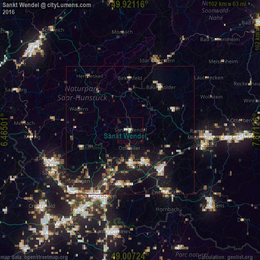
Analysis of Sankt Wendel night lights 2016
Square area 10x10 km:
 1.12%
1.12%90-99
0.7%80-89
1.54%70-79
0%60-69
0%50-59
0%40-49
0.7%30-39
0.98%20-29
1.68%10-19
2.38%0-9
90.9%Square area 50x50 km:
0.94%90-99
1.18%80-89
0.78%70-79
0.73%60-69
1.01%50-59
1.36%40-49
1.55%30-39
1.45%20-29
3.21%10-19
9.58%0-9
78.21%Clear (daylight) street map image can be seen on geolist.org.
Map coordinates:
49° 55' 16.2" North, 6° 27' 54" East
49° 27' 58.8" North, 7° 10' 5.3" East
49° 0' 26.1" North, 7° 52' 16.5" East
Some cities around Sankt Wendel sort by population:
• Illingen
13.5 km =8.4 mi,  220°
220°
• Schiffweiler
11.4 km =7.1 mi,  192°
192°
• Ottweiler
7.2 km =4.5 mi,  182°
182°
• Tholey
9.7 km =6 mi,  281°
281°
• Marpingen
8.1 km =5 mi,  258°
258°
• Freisen
11 km =6.8 mi,  32°
32°
• Namborn
6.5 km =4 mi,  342°
342°
• Oberthal
8 km =5 mi,  310°
310°
2841463 (p: 26,904)
Sources (retrieved 2019-11-25):
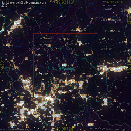
» Earth at Night: Flat Maps 2012, 2016