Salzkotten night lights from space
Night Light of Salzkotten (North Rhine-Westphalia) from space (Germany) Src. Average luminocity for 10x10km area is 4.4398% and for 50x50km: 5.1531%.
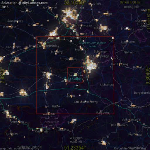
Analysis of Salzkotten night lights 2016
Square area 10x10 km:
 0%
0%90-99
0%80-89
1.12%70-79
1.26%60-69
0.98%50-59
0.56%40-49
0.28%30-39
0.28%20-29
0%10-19
0.14%0-9
95.38%Square area 50x50 km:
0.57%90-99
0.76%80-89
0.55%70-79
0.56%60-69
0.66%50-59
0.76%40-49
0.8%30-39
0.6%20-29
1.22%10-19
3.47%0-9
90.06%Clear (daylight) street map image can be seen on geolist.org.
Map coordinates:
52° 6' 20.4" North, 7° 53' 52.1" East
51° 40' 18.1" North, 8° 36' 3.3" East
51° 14' 0.7" North, 9° 18' 14.6" East
Some cities around Salzkotten sort by population:
• Paderborn
11.8 km =7.3 mi,  63°
63°
• Lippstadt
17.7 km =11 mi,  270°
270°
• Delbrück
10.7 km =6.6 mi,  345°
345°
• Büren
13.7 km =8.5 mi,  192°
192°
• Geseke
7.1 km =4.4 mi,  241°
241°
• Erwitte
19.3 km =12 mi,  250°
250°
• Hövelhof
16.5 km =10.3 mi,  11°
11°
• Wünnenberg
18.2 km =11.3 mi,  158°
158°
2842131 (p: 24,561)
Sources (retrieved 2019-11-25):
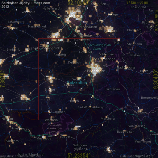
» Earth at Night: Flat Maps 2012, 2016