Delbrück night lights from space
Night Light of Delbrück (North Rhine-Westphalia) from space (Germany) Src. Average luminocity for 10x10km area is 2.2899% and for 50x50km: 7.817%.
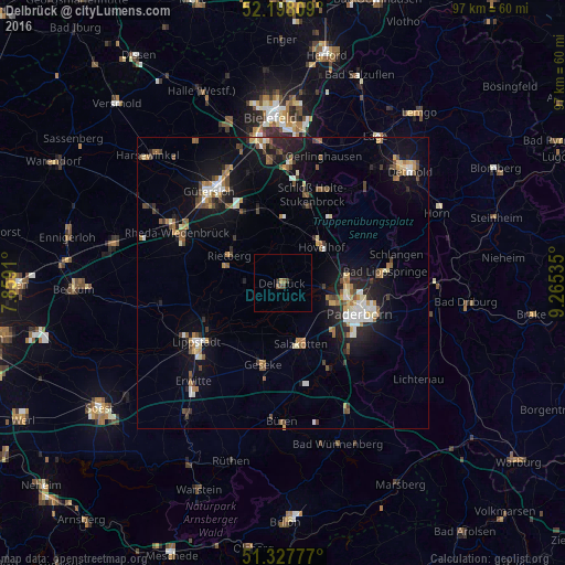
Analysis of Delbrück night lights 2016
Square area 10x10 km:
 0%
0%90-99
0%80-89
0%70-79
0.56%60-69
0%50-59
1.12%40-49
1.12%30-39
0.56%20-29
0.14%10-19
0.42%0-9
96.08%Square area 50x50 km:
0.82%90-99
1.04%80-89
0.76%70-79
0.85%60-69
1.08%50-59
1.19%40-49
1.3%30-39
0.82%20-29
1.73%10-19
6.25%0-9
84.15%Clear (daylight) street map image can be seen on geolist.org.
Map coordinates:
52° 11' 53.1" North, 7° 51' 32.8" East
51° 45' 54.1" North, 8° 33' 44" East
51° 19' 40" North, 9° 15' 55.3" East
Some cities around Delbrück sort by population:
• Paderborn
14.2 km =8.8 mi,  111°
111°
• Rietberg
10.4 km =6.5 mi,  298°
298°
• Salzkotten
10.7 km =6.6 mi,  165°
165°
• Verl
13.5 km =8.4 mi,  346°
346°
• Geseke
14.2 km =8.8 mi,  194°
194°
• Hövelhof
8.3 km =5.2 mi,  46°
46°
• Bad Lippspringe
17.6 km =10.9 mi,  83°
83°
• Langenberg
16.8 km =10.4 mi,  272°
272°
2938389 (p: 29,884)
Sources (retrieved 2019-11-25):
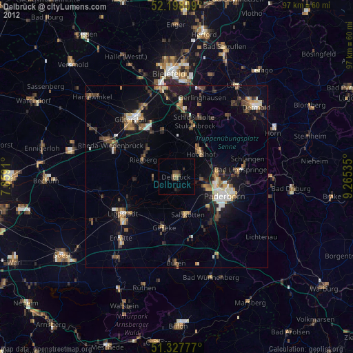
» Earth at Night: Flat Maps 2012, 2016