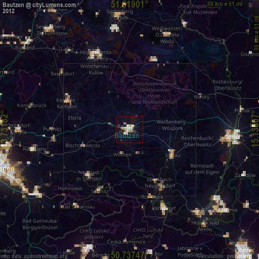
Bautzen night lights from space
Night Light of Bautzen (Saxony) from space (Germany) Src. Average luminocity for 10x10km area is 15.3556% and for 50x50km: 1.6458%.
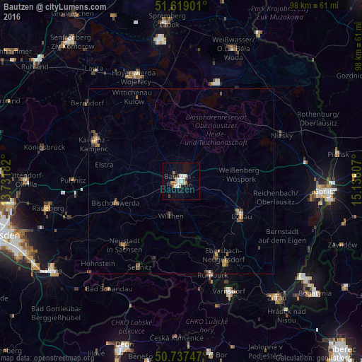
Analysis of Bautzen night lights 2016
Square area 10x10 km:
 2.81%
2.81%90-99
3.61%80-89
1.2%70-79
2.41%60-69
1.74%50-59
0%40-49
0.13%30-39
2.01%20-29
0.53%10-19
10.29%0-9
75.27%Square area 50x50 km:
0.12%90-99
0.19%80-89
0.11%70-79
0.32%60-69
0.29%50-59
0.27%40-49
0.32%30-39
0.27%20-29
0.1%10-19
0.57%0-9
97.44%Clear (daylight) street map image can be seen on geolist.org.
Map coordinates:
51° 37' 8.4" North, 13° 43' 54.6" East
51° 10' 49.3" North, 14° 26' 5.8" East
50° 44' 14.9" North, 15° 8' 17.1" East
Some cities around Bautzen sort by population:
• Löbau
18.5 km =11.5 mi,  118°
118°
• Bischofswerda
18.7 km =11.6 mi,  251°
251°
• Ebersbach
21.9 km =13.6 mi,  151°
151°
• Sohland
15.5 km =9.6 mi,  184°
184°
• Wilthen
9.7 km =6 mi,  197°
197°
• Šluknov, CZ
19.7 km =12.2 mi, 176°
• Cunewalde
10.6 km =6.6 mi, 147°
• Neukirch/Lausitz
12.8 km =8 mi,  223°
223°
2951881 (p: 41,972)
Sources (retrieved 2019-11-25):
» Earth at Night: Flat Maps 2012, 2016