Bottrop night lights from space
Night Light of Bottrop (North Rhine-Westphalia) from space (Germany) Src. Average luminocity for 10x10km area is 78.8449% and for 50x50km: 43.2379%.
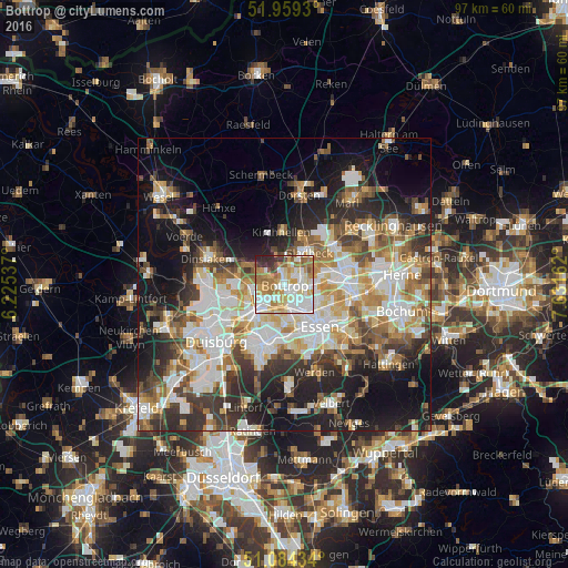
Analysis of Bottrop night lights 2016
Square area 10x10 km:
 21.66%
90-99
23.4%80-89
11.1%70-79
12.03%60-69
14.71%50-59
5.21%40-49
2.41%30-39
4.28%20-29
5.21%10-19
0%0-9
0%Square area 50x50 km:
9.43%90-99
9.61%80-89
4.96%70-79
5.1%60-69
5.87%50-59
5.81%40-49
4.8%30-39
6.43%20-29
9.05%10-19
15.72%0-9
23.21%Clear (daylight) street map image can be seen on geolist.org.
Map coordinates:
51° 57' 33.5" North, 6° 13' 31.3" East
51° 31' 26.1" North, 6° 55' 42.6" East
51° 5' 3.6" North, 7° 37' 53.8" East
Some cities around Bottrop sort by population:
• Essen
9.5 km =5.9 mi,  142°
142°
• Duisburg
15.2 km =9.4 mi,  228°
228°
• Gelsenkirchen
11.8 km =7.3 mi,  100°
100°
• Oberhausen
6.8 km =4.2 mi,  221°
221°
• Mülheim
10.7 km =6.6 mi,  198°
198°
• Gladbeck
6.6 km =4.1 mi,  37°
37°
• Dinslaken
13.5 km =8.4 mi,  288°
288°
• Meiderich
12.9 km =8 mi,  240°
240°
2945756 (p: 119,909)
Sources (retrieved 2019-11-25):
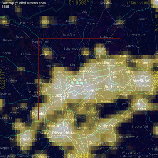
» NASA, Earths city lights 1995
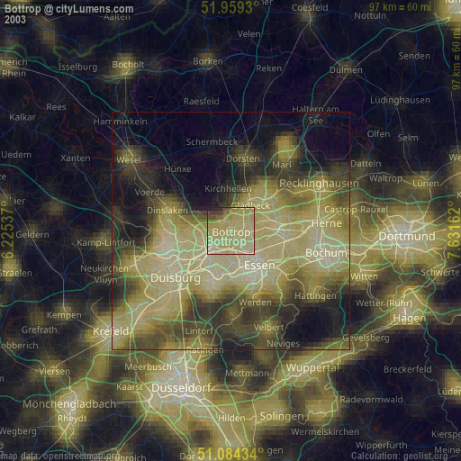
» NASA city lights 2003
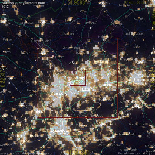
» Earth at Night: Flat Maps 2012, 2016