Marienfelde night lights from space
Night Light of Marienfelde (Berlin) from space (Germany) Src. Average luminocity for 10x10km area is 77.3763% and for 50x50km: 37.0083%.
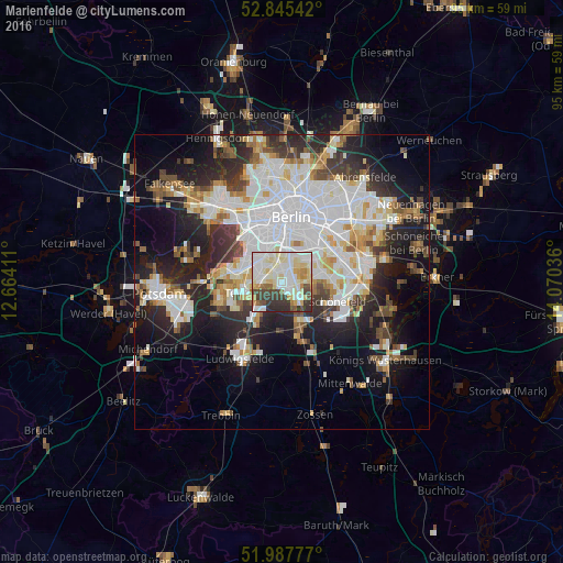
Analysis of Marienfelde night lights 2016
Square area 10x10 km:
 20.58%
90-99
30.3%80-89
13.01%70-79
6.06%60-69
3.16%50-59
3.54%40-49
7.07%30-39
10.48%20-29
5.81%10-19
0%0-9
0%Square area 50x50 km:
10.87%90-99
9.33%80-89
3.59%70-79
3.02%60-69
3.03%50-59
3.28%40-49
3.8%30-39
4.32%20-29
8.65%10-19
13.62%0-9
36.48%Clear (daylight) street map image can be seen on geolist.org.
Map coordinates:
52° 50' 43.5" North, 12° 39' 50.8" East
52° 25' 7.2" North, 13° 22' 2" East
51° 59' 16" North, 14° 4' 13.3" East
Some cities around Marienfelde sort by population:
• Schöneberg
5.5 km =3.4 mi,  347°
347°
• Lichterfelde
4.4 km =2.7 mi,  291°
291°
• Steglitz
4.8 km =3 mi,  330°
330°
• Tempelhof
5.8 km =3.6 mi,  22°
22°
• Lichtenrade
3.5 km =2.2 mi,  130°
130°
• Lankwitz
2.4 km =1.5 mi,  323°
323°
• Britz
5.3 km =3.3 mi,  59°
59°
• Friedenau
6.4 km =4 mi,  335°
335°
2873589 (p: 30,338)
Sources (retrieved 2019-11-25):
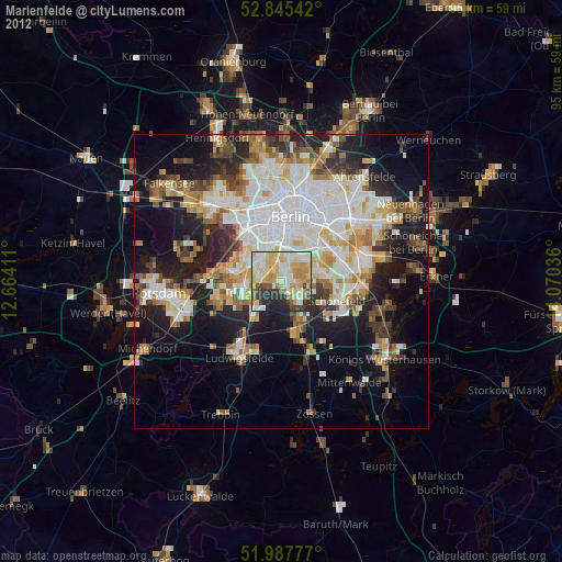
» Earth at Night: Flat Maps 2012, 2016