Friedenau night lights from space
Night Light of Friedenau (Berlin) from space (Germany) Src. Average luminocity for 10x10km area is 95.1869% and for 50x50km: 38.5629%.
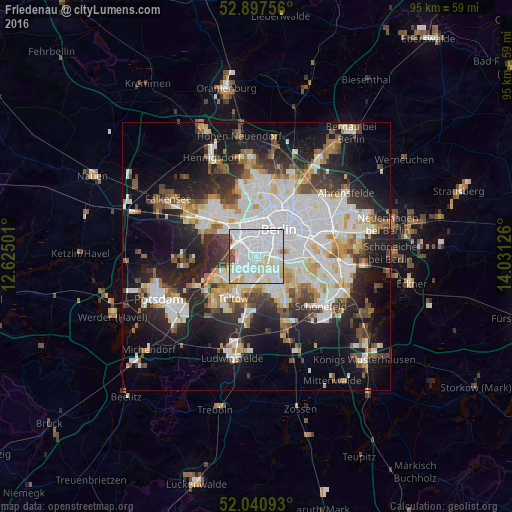
Analysis of Friedenau night lights 2016
Square area 10x10 km:
 49.37%
90-99
36.24%80-89
8.46%70-79
1.39%60-69
1.52%50-59
0.76%40-49
2.27%30-39
0%20-29
0%10-19
0%0-9
0%Square area 50x50 km:
11.09%90-99
9.6%80-89
3.71%70-79
3.02%60-69
3.29%50-59
3.52%40-49
4.05%30-39
4.3%20-29
8.75%10-19
16.19%0-9
32.48%Clear (daylight) street map image can be seen on geolist.org.
Map coordinates:
52° 53' 51.2" North, 12° 37' 30" East
52° 28' 16.8" North, 13° 19' 41.3" East
52° 2' 27.3" North, 14° 1' 52.5" East
Some cities around Friedenau sort by population:
• Schöneberg
1.6 km =1 mi,  109°
109°
• Wilmersdorf
1.5 km =0.9 mi,  329°
329°
• Steglitz
1.7 km =1.1 mi,  171°
171°
• Lankwitz
4.1 km =2.5 mi,  162°
162°
• Schmargendorf
2.6 km =1.6 mi,  279°
279°
• Dahlem
3.1 km =1.9 mi,  242°
242°
• Halensee
3 km =1.9 mi,  313°
313°
• Grunewald
4.4 km =2.7 mi,  287°
287°
2924770 (p: 26,972)
Sources (retrieved 2019-11-25):
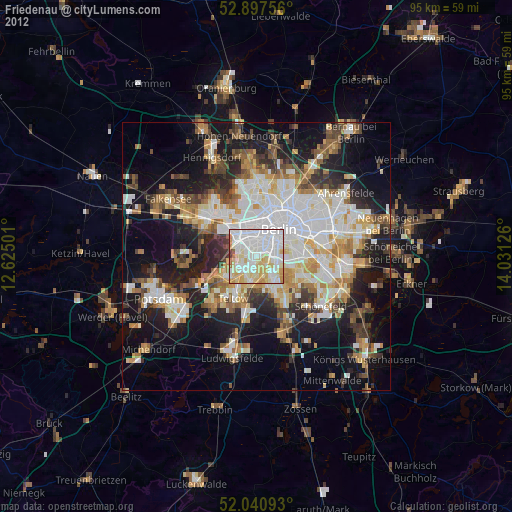
» Earth at Night: Flat Maps 2012, 2016